Transport Functions
Port
Road
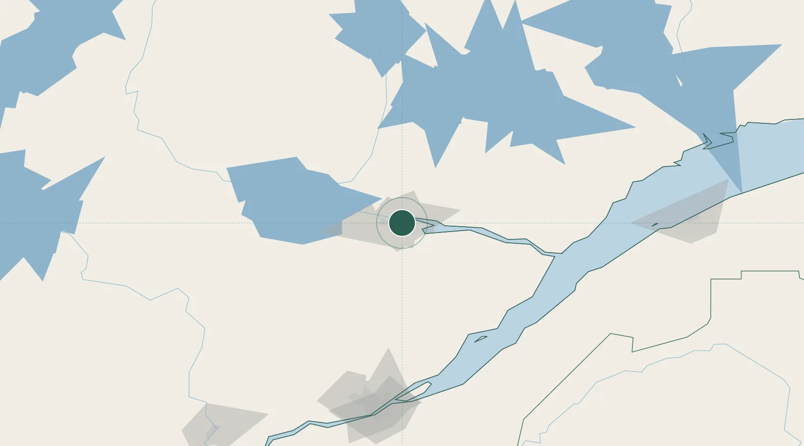
Hub Profile
Place type
Populated place
Region
Quebec
Population
148,886
Time zone
America/Toronto
Elevation
84 m
Location
Nearby Logistics Neighbours
Cities
- 1Port-Alfred16 km
- 2Saint-Bruno-Lac-Saint-Jean45 km
- 3Hébertville46 km
- 4Saint-Gédéon53 km
- 5L'Ascension-de-Notre-Seigneur55 km
Ports
- 1Chicoutimi (Port Saguenay)2 km
- 2La Baie (Port Alfred)16 km
- 3Riviere Du Loup132 km
- 4Quebec178 km
- 5Rimouski188 km
Airports
- 1Saguenay-Bagotville Airport11 km
- 2Alma Airport44 km
- 3Roberval Airport89 km
- 4Dolbeau-Saint-Felicien Airport104 km
- 5Charlevoix Airport111 km
Trade Zones
- 1Québec City FTZ177 km
- 2FTZ No. 179 Madawaska239 km
- 3Greater Montreal Free Zone Center375 km
- 4FTZ No. 058 Bangor437 km
- 5FTZ No. 186 Waterville443 km
DatabookThe Record of Consolidated Knowledge
Canada beyond logistics?