Transport Functions
Port
Rail
Road
Hub Profile
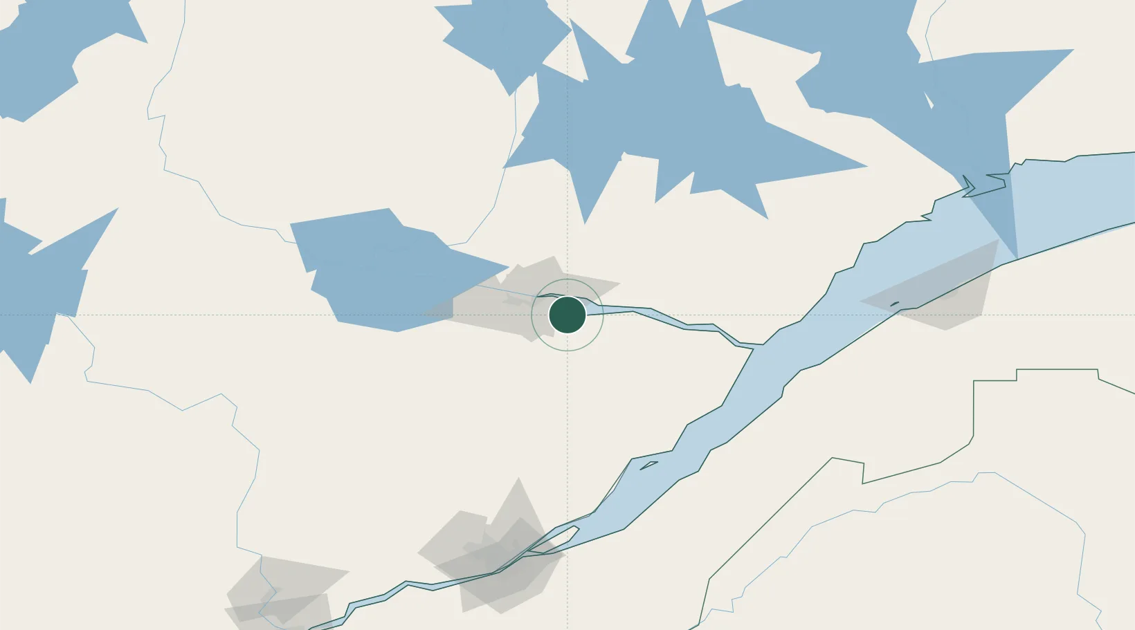
Region
QC
Location
Nearby Logistics Neighbours
Cities
- 1Saguenay16 km
- 2Hébertville59 km
- 3Saint-Bruno-Lac-Saint-Jean60 km
- 4Saint-Gédéon69 km
- 5L'Ascension-de-Notre-Seigneur72 km
Ports
- 1La Baie (Port Alfred)0 km
- 2Chicoutimi (Port Saguenay)18 km
- 3Riviere Du Loup116 km
- 4Quebec171 km
- 5Rimouski175 km
Airports
- 1Saguenay-Bagotville Airport8 km
- 2Alma Airport59 km
- 3Charlevoix Airport95 km
- 4Roberval Airport104 km
- 5Rivière-du-Loup Airport115 km
Trade Zones
- 1Québec City FTZ170 km
- 2FTZ No. 179 Madawaska223 km
- 3Greater Montreal Free Zone Center374 km
- 4FTZ No. 058 Bangor423 km
- 5FTZ No. 186 Waterville431 km
DatabookThe Record of Consolidated Knowledge
Canada beyond logistics?