Transport Functions
Multimodal
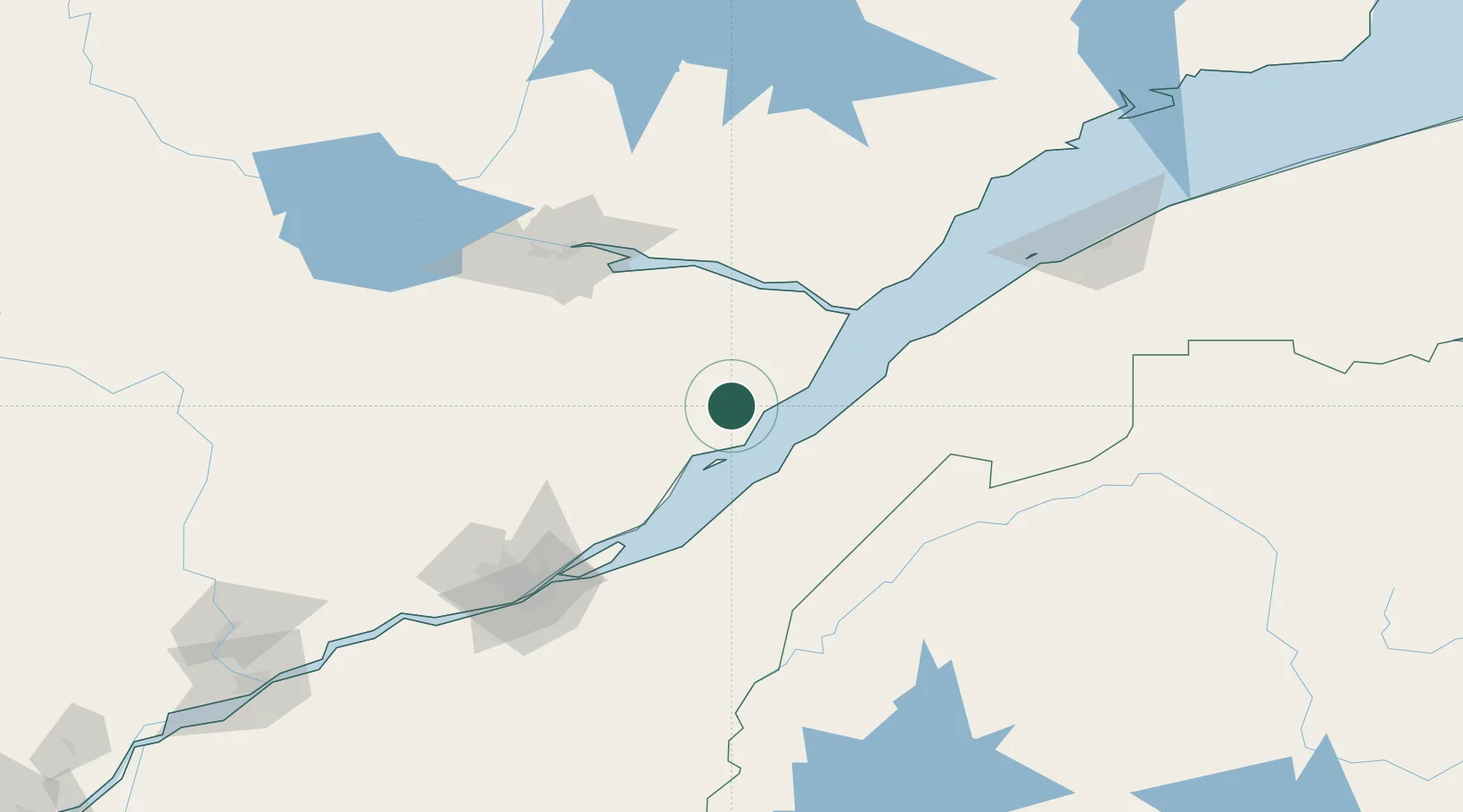
Hub Profile
Place type
Populated place
Region
Quebec
Time zone
America/Toronto
Elevation
209 m
Location
Nearby Logistics Neighbours
Cities
- 1Saint-Pascal41 km
- 2Rivière-du-Loup60 km
- 3L'Islet65 km
- 4Cap-St-Ignace73 km
- 5Grosse Isle77 km
Ports
- 1Riviere Du Loup61 km
- 2La Baie (Port Alfred)84 km
- 3Chicoutimi (Port Saguenay)101 km
- 4Quebec119 km
- 5Rimouski158 km
Airports
- 1Charlevoix Airport11 km
- 2Rivière-du-Loup Airport54 km
- 3Saguenay-Bagotville Airport88 km
- 4Quebec Jean Lesage International Airport129 km
- 5Alma Airport136 km
Trade Zones
- 1Québec City FTZ119 km
- 2FTZ No. 179 Madawaska154 km
- 3FTZ No. 058 Bangor339 km
- 4Greater Montreal Free Zone Center347 km
- 5FTZ No. 186 Waterville352 km
DatabookThe Record of Consolidated Knowledge
Canada beyond logistics?