UN/LOCODE hub · Canada
CACPY

Cape Ray

47.6333°, -59.3000°
3
Transport functions

Transport Functions

Port
Rail
Road
UN/LOCODE

Hub Profile

Region
NL
GeoNames

Location

Location of CACPY
Natural Earth 10m (public domain) · NL · CACPY · 47.63, -59.30GoogleOSMYandex

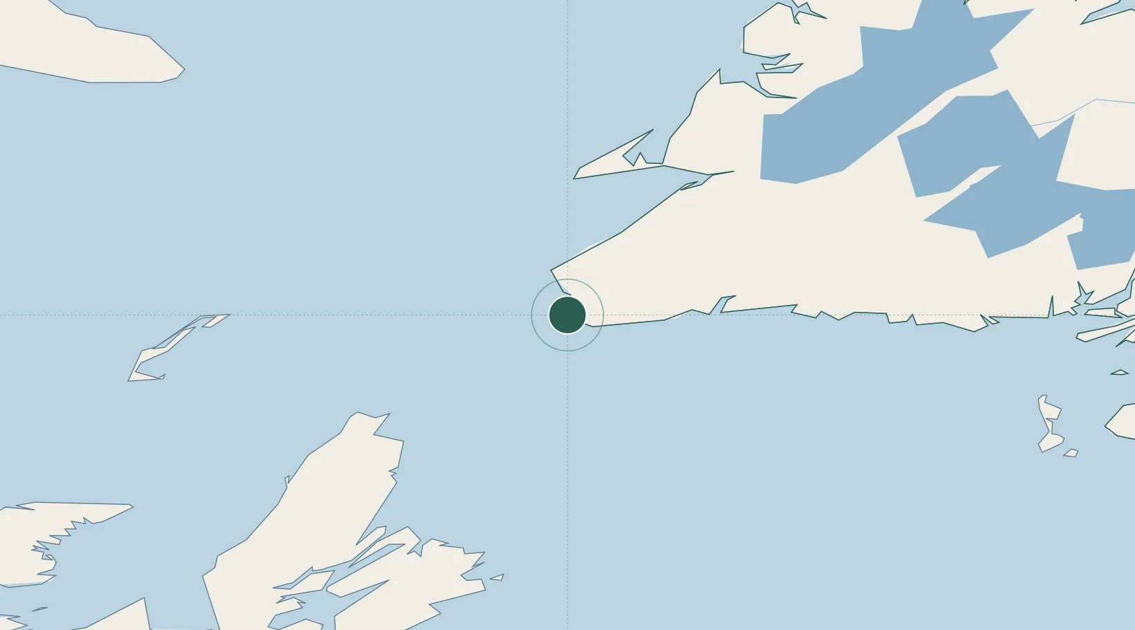
Nearby Logistics Neighbours

Cities
  1. 1Channel-Port aux Basques14 km
  2. 2Robinsons79 km
  3. 3Lower Cove101 km
  4. 4Aguathuna109 km
  5. 5Port au Port111 km
Nearest neighbours — logibook spatial index (haversine) over the source coordinates
Ports
  1. 1Port Aux Basques15 km
  2. 2Stephenville115 km
  3. 3Burgeo127 km
  4. 4North Sydney173 km
  5. 5Corner Brook177 km
Nearest neighbours — logibook spatial index (haversine) over the source coordinates
Airports
  1. 1Stephenville Dymond International Airport115 km
  2. 2Sydney / J.A. Douglas McCurdy Airport173 km
  3. 3Îles-de-la-Madeleine Airport188 km
  4. 4Deer Lake Airport225 km
  5. 5Miquelon Airport228 km
Nearest neighbours — logibook spatial index (haversine) over the source coordinates
Trade Zones
  1. 1Cape Breton Regional Municipality Foreign Trade Zone197 km
  2. 2Crossroads Business Park379 km
  3. 3Halifax Gateway468 km
  4. 4Saint John581 km
  5. 5FTZ No. 179 Madawaska680 km
Nearest neighbours — logibook spatial index (haversine) over the source coordinates
DatabookThe Record of Consolidated Knowledge
Canada beyond logistics?
Browse databook

All Sources

LocationsUN/LOCODE
UN/LOCODE — free
Portsthe NGA World Port Index
Public domain (US gov)
AirportsOurAirports
Public domain
Trade Zonesthe World Bank SEZ database
CC BY 4.0
Trade ZonesOpen Zone Map
CC BY
← Canada locations