Transport Functions
Port
Road
Hub Profile
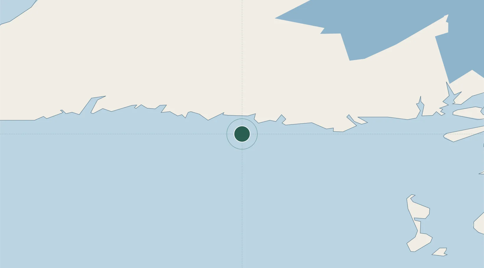
Place type
Populated place
Region
Newfoundland and Labrador
Population
388
Time zone
America/St_Johns
Elevation
1 m
Location
Nearby Logistics Neighbours
Cities
- 1Burgeo19 km
- 2Harbour Breton119 km
- 3Long Pond124 km
- 4Saint-Pierre126 km
- 5Fortune130 km
Ports
- 1Burgeo18 km
- 2Port De St Pierre125 km
- 3Port Aux Basques129 km
- 4Grand Bank134 km
- 5Stephenville140 km
Airports
Trade Zones
- 1Crossroads Business Park264 km
- 2Cape Breton Regional Municipality Foreign Trade Zone295 km
- 3Halifax Gateway572 km
- 4Saint John708 km
- 5FTZ No. 179 Madawaska822 km
DatabookThe Record of Consolidated Knowledge
Canada beyond logistics?