Transport Functions
Port
Road
Hub Profile
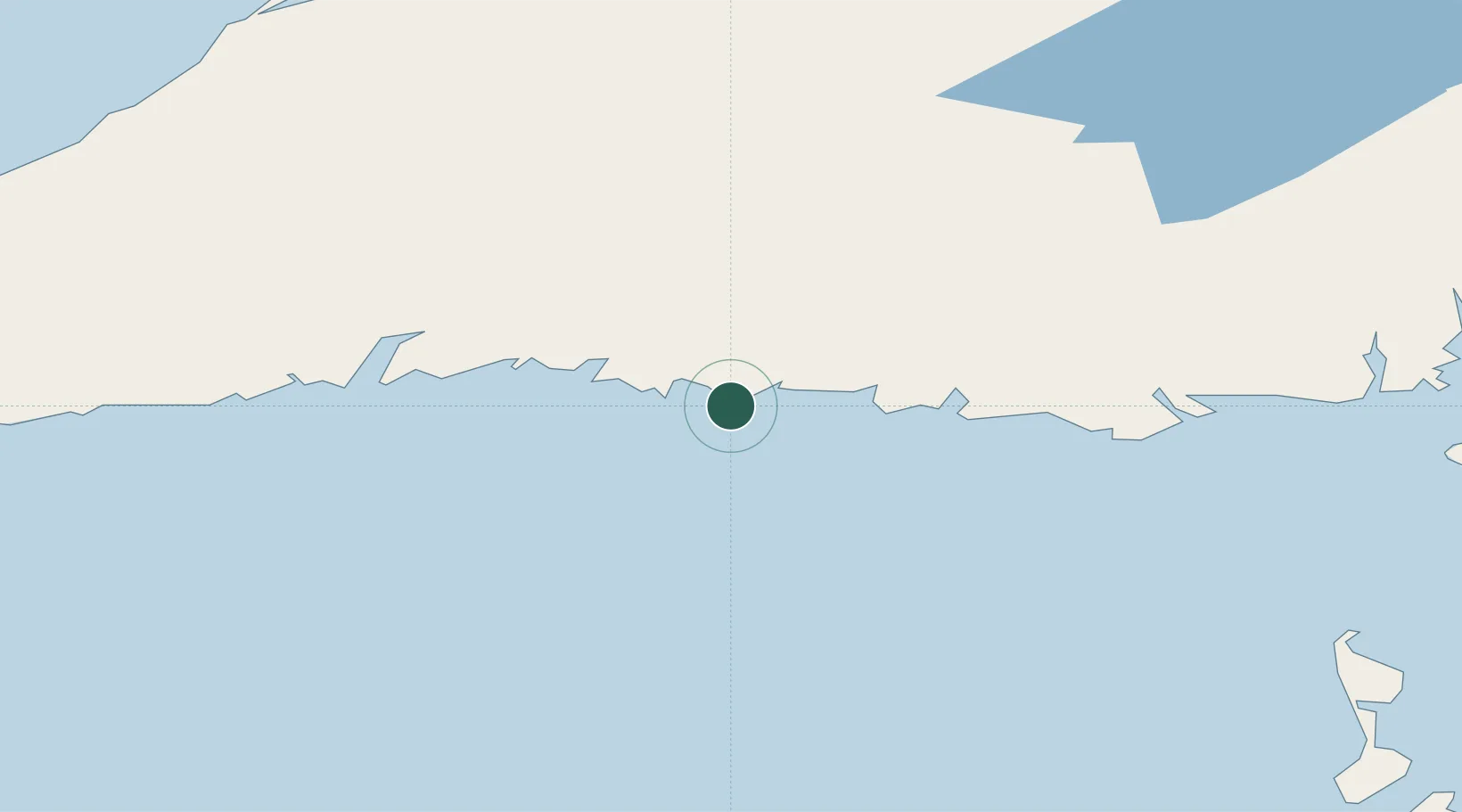
Place type
Populated place
Region
Newfoundland and Labrador
Population
1,307
Time zone
America/St_Johns
Elevation
1 m
Location
Nearby Logistics Neighbours
Cities
- 1Ramea19 km
- 2Robinsons112 km
- 3Channel-Port aux Basques114 km
- 4Cape Ray125 km
- 5Stephenville126 km
Ports
- 1Port Aux Basques113 km
- 2Stephenville124 km
- 3Port De St Pierre143 km
- 4Corner Brook152 km
- 5Grand Bank152 km
Airports
Trade Zones
- 1Crossroads Business Park271 km
- 2Cape Breton Regional Municipality Foreign Trade Zone286 km
- 3Halifax Gateway563 km
- 4Saint John696 km
- 5FTZ No. 179 Madawaska805 km
DatabookThe Record of Consolidated Knowledge
Canada beyond logistics?