UN/LOCODE hub · Canada
CALOP

Long Pond

48.0000°, -55.9167°
1
Transport functions

Transport Functions

Port
UN/LOCODE

Hub Profile

Region
NL
GeoNames

Location

Location of CALOP
Natural Earth 10m (public domain) · NL · CALOP · 48.00, -55.92GoogleOSMYandex

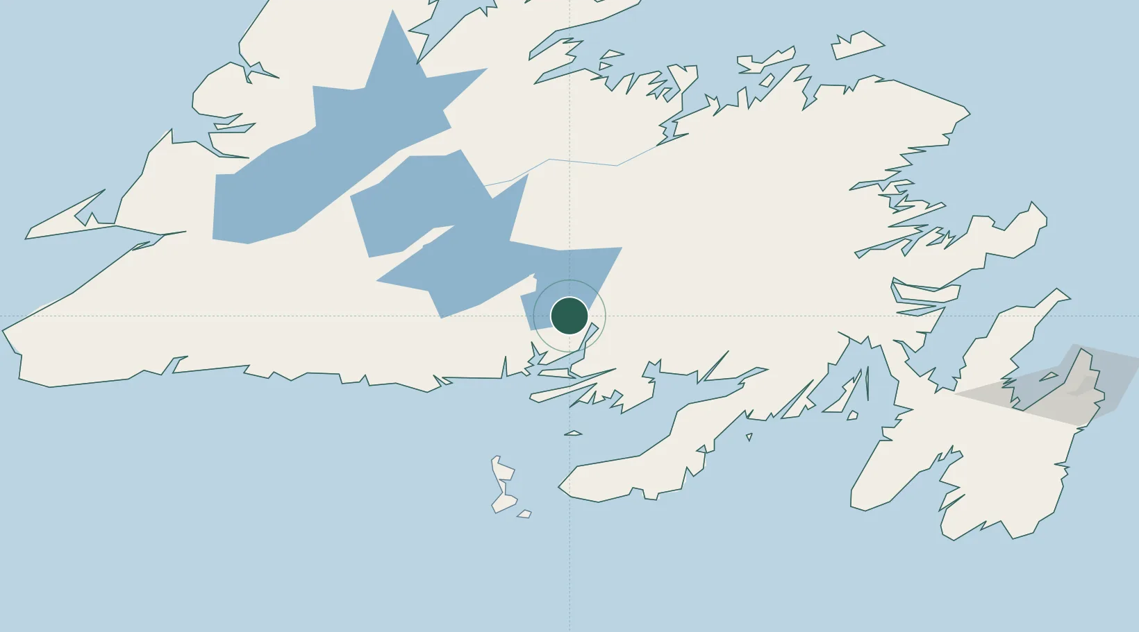
Nearby Logistics Neighbours

Cities
  1. 1Harbour Breton58 km
  2. 2Grand Bank101 km
  3. 3Fortune104 km
  4. 4Marystown108 km
  5. 5Burin119 km
Nearest neighbours — logibook spatial index (haversine) over the source coordinates
Ports
  1. 1Grand Bank101 km
  2. 2Burgeo133 km
  3. 3Botwood133 km
  4. 4Port De St Pierre137 km
  5. 5Come By Chance Harbor143 km
Nearest neighbours — logibook spatial index (haversine) over the source coordinates
Airports
  1. 1Miquelon Airport106 km
  2. 2Saint-Pierre Pointe-Blanche Airport139 km
  3. 3Gander International Airport144 km
  4. 4Deer Lake Airport173 km
  5. 5Stephenville Dymond International Airport204 km
Nearest neighbours — logibook spatial index (haversine) over the source coordinates
Trade Zones
  1. 1Crossroads Business Park144 km
  2. 2Cape Breton Regional Municipality Foreign Trade Zone419 km
  3. 3Halifax Gateway696 km
  4. 4Saint John831 km
  5. 5FTZ No. 179 Madawaska933 km
Nearest neighbours — logibook spatial index (haversine) over the source coordinates
DatabookThe Record of Consolidated Knowledge
Canada beyond logistics?
Browse databook

All Sources

LocationsUN/LOCODE
UN/LOCODE — free
Portsthe NGA World Port Index
Public domain (US gov)
AirportsOurAirports
Public domain
Trade Zonesthe World Bank SEZ database
CC BY 4.0
Trade ZonesOpen Zone Map
CC BY
← Canada locations