Transport Functions
Port
Road
Hub Profile
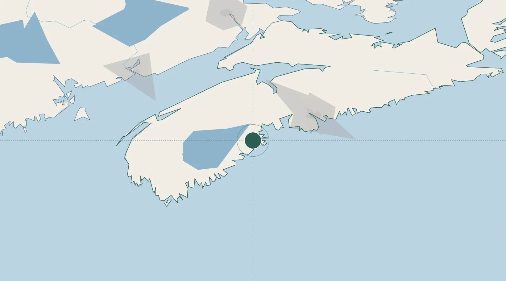
Place type
Populated place
Region
Nova Scotia
Time zone
America/Halifax
Elevation
9 m
Location
Nearby Logistics Neighbours
Cities
- 1New Ross43 km
- 2Hibernia44 km
- 3Hacketts Cove47 km
- 4Cleveland49 km
- 5Seabright51 km
Ports
- 1Liverpool (Brooklyn)38 km
- 2Halifax76 km
- 3Windsor77 km
- 4Digby110 km
- 5Musquodoboit Harbour113 km
Airports
- 1CFB Greenwood82 km
- 2Halifax / Stanfield International Airport95 km
- 3Digby / Annapolis Regional Airport110 km
- 4Yarmouth Airport144 km
- 5Saint John Airport159 km
Trade Zones
- 1Halifax Gateway76 km
- 2Saint John166 km
- 3FTZ No. 058 Bangor351 km
- 4Cape Breton Regional Municipality Foreign Trade Zone353 km
- 5FTZ No. 186 Waterville419 km
DatabookThe Record of Consolidated Knowledge
Canada beyond logistics?