Transport Functions
Rail
Road
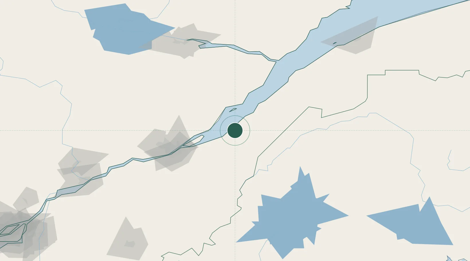
Hub Profile
Place type
Populated place
Region
Quebec
Time zone
America/Toronto
Elevation
34 m
Location
Nearby Logistics Neighbours
Cities
- 1Cap-St-Ignace11 km
- 2Grosse Isle25 km
- 3Sainte-Famille49 km
- 4Château-Richer53 km
- 5Saint-Pascal64 km
Ports
- 1Quebec73 km
- 2Riviere Du Loup103 km
- 3La Baie (Port Alfred)143 km
- 4Chicoutimi (Port Saguenay)158 km
- 5Port De Becancour173 km
Airports
Trade Zones
- 1Québec City FTZ75 km
- 2FTZ No. 179 Madawaska153 km
- 3FTZ No. 058 Bangor281 km
- 4FTZ No. 186 Waterville289 km
- 5Greater Montreal Free Zone Center304 km
DatabookThe Record of Consolidated Knowledge
Canada beyond logistics?