Transport Functions
Rail
Road
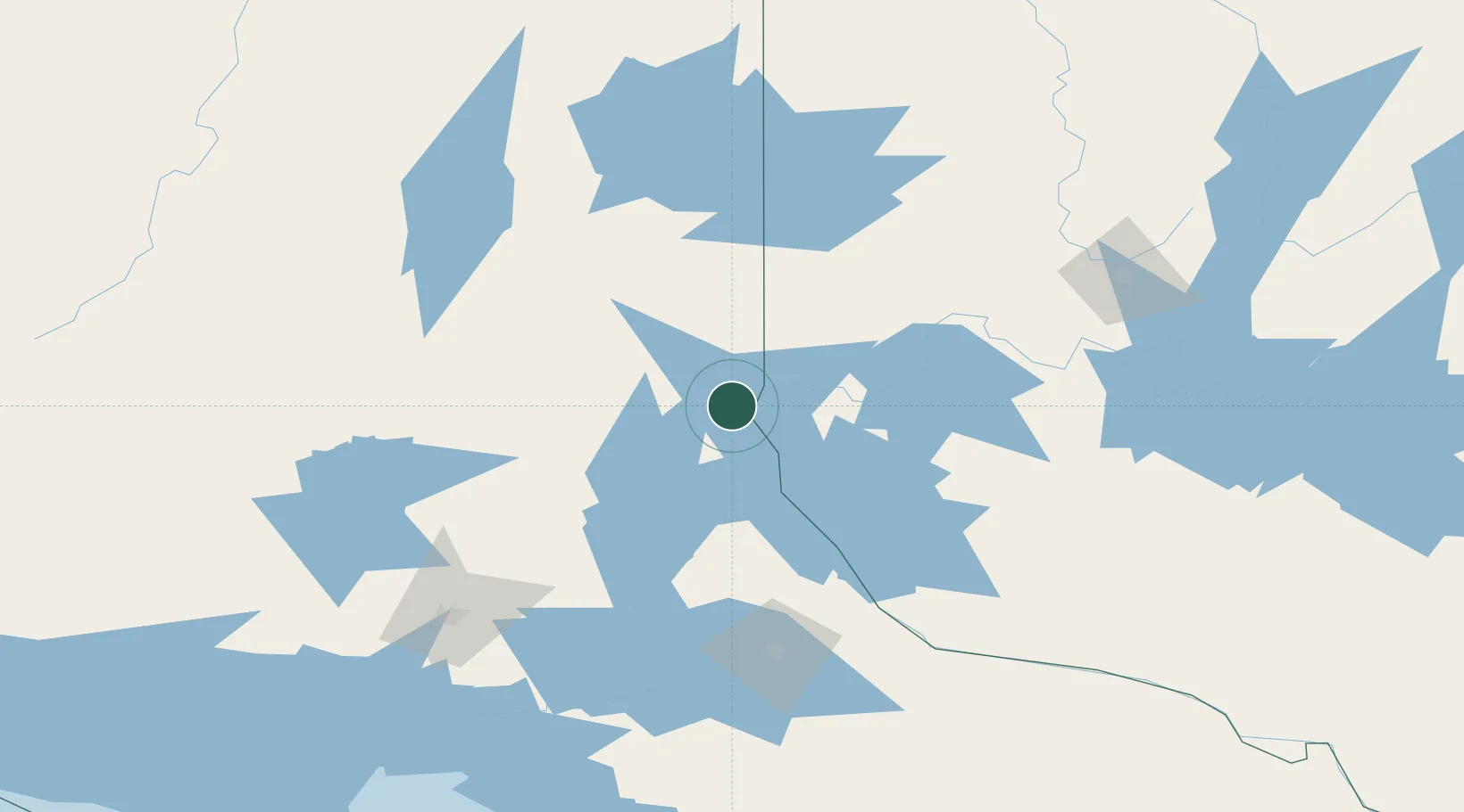
Hub Profile
Place type
Populated place
Region
Ontario
Time zone
America/Toronto
Elevation
192 m
Location
Nearby Logistics Neighbours
Cities
- 1Latchford21 km
- 2Laverlochère30 km
- 3Temagami49 km
- 4Rouyn-Noranda95 km
- 5Cadillac125 km
Ports
- 1Key Harbour198 km
- 2Byng Inlet205 km
- 3Killarney221 km
- 4Little Current241 km
- 5Parry Sound243 km
Airports
- 1Earlton (Timiskaming Regional) Airport26 km
- 2Kirkland Lake Airport82 km
- 3Rouyn Noranda Airport100 km
- 4North Bay Jack Garland Airport128 km
- 5Sudbury Airport130 km
Trade Zones
- 1FTZ No. 118 Ogdensburg446 km
- 2FTZ No. 034 Niagara County466 km
- 3FTZ No. 141 Monroe County487 km
- 4FTZ No. 109 Watertown488 km
- 5Niagara Foreign Trade Zone493 km
DatabookThe Record of Consolidated Knowledge
Canada beyond logistics?