Transport Functions
Rail
Road
Hub Profile
Place type
Populated place
Region
Ontario
Time zone
America/Toronto
Elevation
302 m
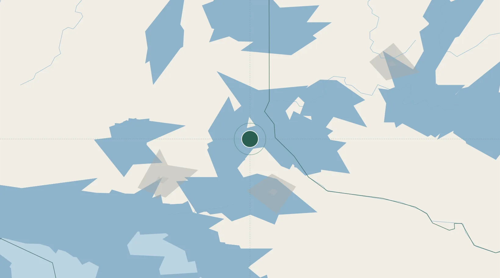
Location
Nearby Logistics Neighbours
Cities
- 1Latchford30 km
- 2New Liskeard49 km
- 3Laverlochère54 km
- 4North Bay89 km
- 5Falconbridge96 km
Ports
- 1Key Harbour151 km
- 2Byng Inlet157 km
- 3Killarney180 km
- 4Parry Sound194 km
- 5Little Current204 km
Airports
- 1Earlton (Timiskaming Regional) Airport70 km
- 2North Bay Jack Garland Airport83 km
- 3Sudbury Airport92 km
- 4Kirkland Lake Airport128 km
- 5Rouyn Noranda Airport145 km
Trade Zones
- 1FTZ No. 034 Niagara County419 km
- 2FTZ No. 118 Ogdensburg422 km
- 3FTZ No. 141 Monroe County444 km
- 4Niagara Foreign Trade Zone446 km
- 5FTZ No. 109 Watertown457 km
DatabookThe Record of Consolidated Knowledge
Canada beyond logistics?