Transport Functions
Rail
Road
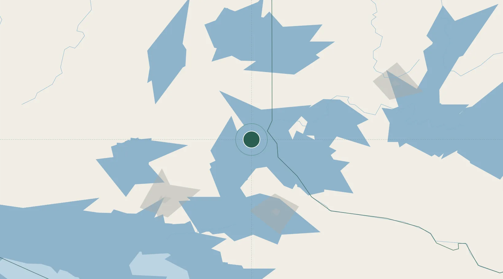
Hub Profile
Place type
Populated place
Region
Ontario
Time zone
America/Toronto
Elevation
282 m
Location
Nearby Logistics Neighbours
Cities
- 1New Liskeard21 km
- 2Temagami30 km
- 3Laverlochère40 km
- 4Falconbridge115 km
- 5Rouyn-Noranda116 km
Ports
- 1Key Harbour177 km
- 2Byng Inlet184 km
- 3Killarney201 km
- 4Little Current221 km
- 5Parry Sound223 km
Airports
- 1Earlton (Timiskaming Regional) Airport41 km
- 2Kirkland Lake Airport99 km
- 3Sudbury Airport109 km
- 4North Bay Jack Garland Airport112 km
- 5Rouyn Noranda Airport121 km
Trade Zones
- 1FTZ No. 118 Ogdensburg441 km
- 2FTZ No. 034 Niagara County449 km
- 3FTZ No. 141 Monroe County472 km
- 4Niagara Foreign Trade Zone475 km
- 5FTZ No. 109 Watertown480 km
DatabookThe Record of Consolidated Knowledge
Canada beyond logistics?