Medium airport · Canada
North Bay Jack Garland AirportCYYB
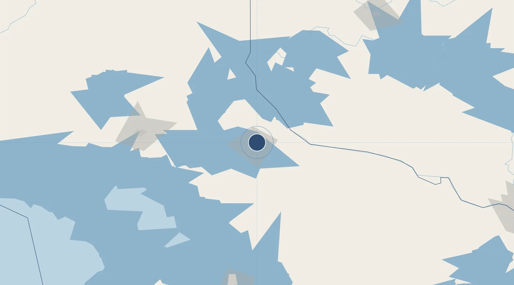
46.3636°, -79.4228°
10,000 ft
Longest runway
3
Runways
1,215 ft
Elevation
Runway & Layout

Radio Frequencies
ATIS
124.9 MHz
A/G
118.3 MHz
MF
CNTR
121.225 MHz
TORONTO CNTR
PMSV
34.46 MHz
PMSV METRO
RDO
118.3 MHz
Navaids
YYB VOR-DME North Bay 115.40 MHz
ZYB NDB Yellek 404 kHz
Runways · 3
| Runway | Dimensions | Surface | True heading | Lit |
|---|---|---|---|---|
| 08/26 | 10,000 × 200ft | Asphalt | 065° | ✓ |
| 18/36 | 4,474 × 150ft | Asphalt | 168° | ✓ |
| 13/31 | 2,500 × 75ft | Grass | 118° | — |
Airport Specifications
IATA code
YYB
ICAO code
CYYB
Airport class
Medium airport
Scheduled service
Yes
Runway surface
Asphalt
Served city
North Bay
Location
Nearby Logistics Neighbours
Airports
- 1Sudbury Airport109 km
- 2Earlton (Timiskaming Regional) Airport152 km
- 3Muskoka Airport155 km
- 4Pembroke Airport176 km
- 5Huronia Airport191 km
Cities
- 1North Bay7 km
- 2Mattawa55 km
- 3Joly66 km
- 4Burks Falls81 km
- 5Temagami83 km
Ports
- 1Byng Inlet110 km
- 2Key Harbour115 km
- 3Parry Sound124 km
- 4Killarney167 km
- 5Penetanguishene182 km
Trade Zones
- 1FTZ No. 034 Niagara County339 km
- 2FTZ No. 118 Ogdensburg356 km
- 3FTZ No. 141 Monroe County361 km
- 4Niagara Foreign Trade Zone365 km
- 5FTZ No. 109 Watertown382 km
DatabookThe Record of Consolidated Knowledge
Canada beyond logistics?