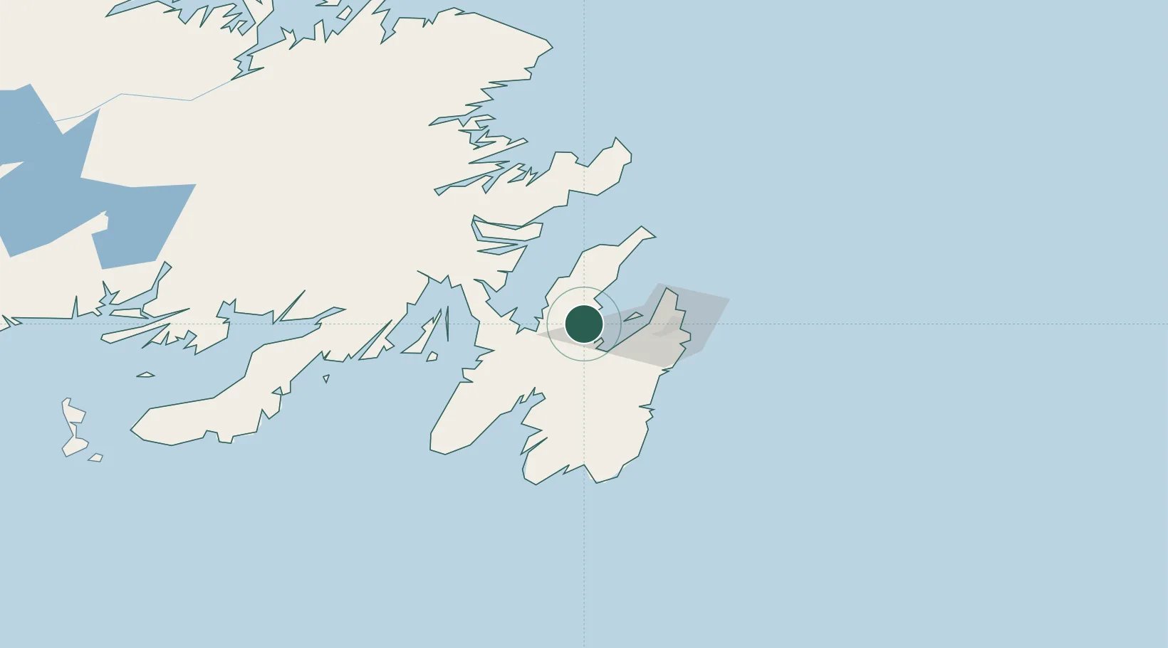
UN/LOCODE hub · Canada
CACYP

Coley's Point

47.5833°, -53.2667°
1
Transport functions

Transport Functions

Port
UN/LOCODE

Hub Profile

Region
NL
GeoNames

Location

Location of CACYP
Natural Earth 10m (public domain) · NL · CACYP · 47.58, -53.27GoogleOSMYandex

Nearby Logistics Neighbours

Cities
  1. 1Bay Roberts3 km
  2. 2Spaniards Bay5 km
  3. 3Harbour Grace11 km
  4. 4Carbonear17 km
  5. 5Avondale19 km
Nearest neighbours — logibook spatial index (haversine) over the source coordinates
Ports
  1. 1Bay Roberts1 km
  2. 2St John's43 km
  3. 3Bay Bulls45 km
  4. 4Come By Chance Harbor61 km
  5. 5Argentia62 km
Nearest neighbours — logibook spatial index (haversine) over the source coordinates
Airports
  1. 1St. John's International Airport39 km
  2. 2Gander International Airport179 km
  3. 3Saint-Pierre Pointe-Blanche Airport238 km
  4. 4Miquelon Airport241 km
  5. 5Fogo Airport241 km
Nearest neighbours — logibook spatial index (haversine) over the source coordinates
Trade Zones
  1. 1Crossroads Business Park180 km
  2. 2Cape Breton Regional Municipality Foreign Trade Zone590 km
  3. 3Halifax Gateway859 km
  4. 4Saint John1013 km
  5. 5FTZ No. 179 Madawaska1133 km
Nearest neighbours — logibook spatial index (haversine) over the source coordinates
DatabookThe Record of Consolidated Knowledge
Canada beyond logistics?
Browse databook

All Sources

LocationsUN/LOCODE
UN/LOCODE — free
Portsthe NGA World Port Index
Public domain (US gov)
AirportsOurAirports
Public domain
Trade Zonesthe World Bank SEZ database
CC BY 4.0
Trade ZonesOpen Zone Map
CC BY
← Canada locations