Transport Functions
Port
Rail
Road
Hub Profile
Place type
Populated place
Region
Newfoundland and Labrador
Population
2,630
Time zone
America/St_Johns
Elevation
43 m
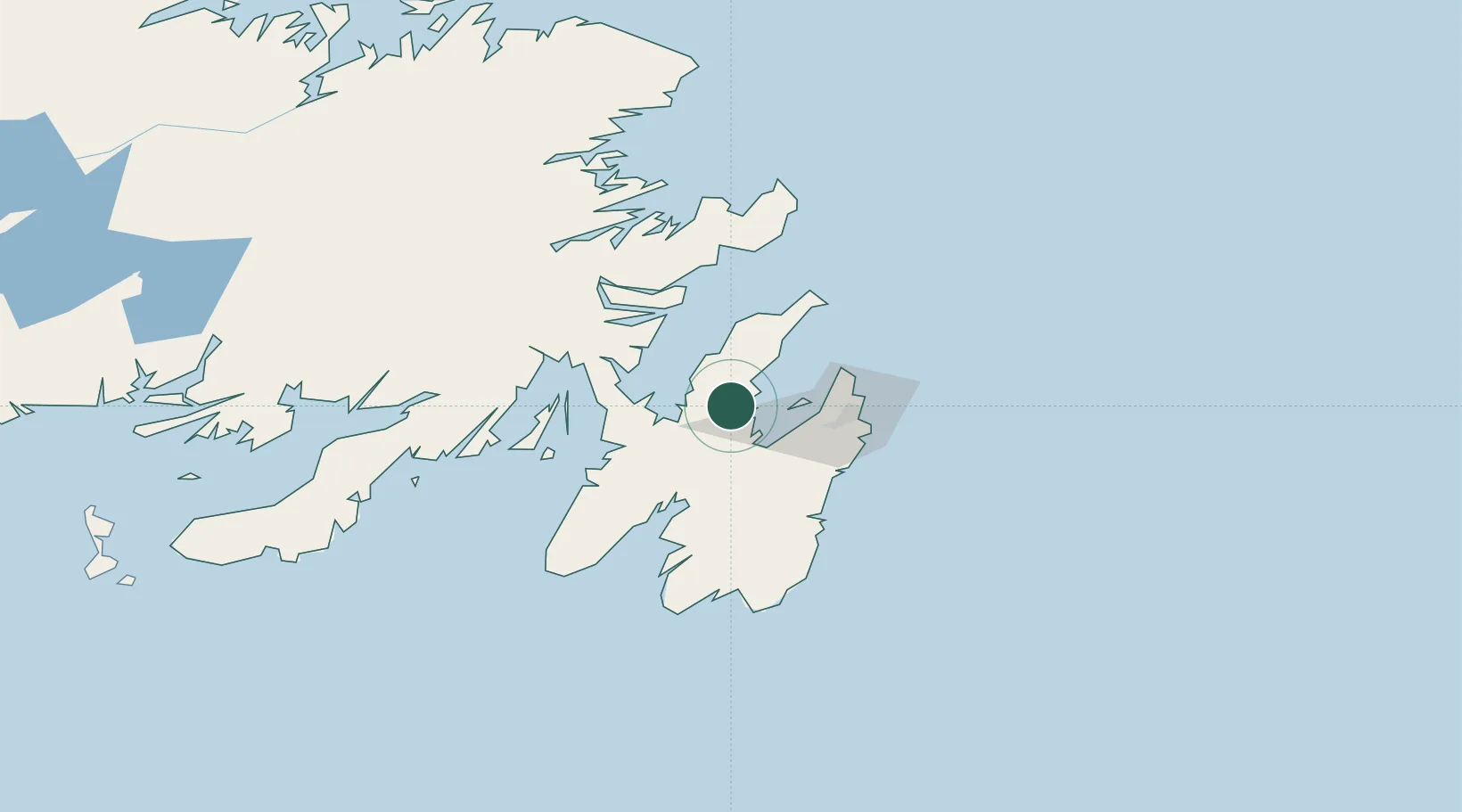
Location
Nearby Logistics Neighbours
Cities
- 1Bay Roberts4 km
- 2Coley's Point5 km
- 3Harbour Grace8 km
- 4Carbonear14 km
- 5New Harbour18 km
Ports
- 1Bay Roberts4 km
- 2St John's45 km
- 3Bay Bulls49 km
- 4Come By Chance Harbor57 km
- 5Argentia62 km
Airports
- 1St. John's International Airport41 km
- 2Gander International Airport174 km
- 3Saint-Pierre Pointe-Blanche Airport237 km
- 4Fogo Airport237 km
- 5Miquelon Airport239 km
Trade Zones
- 1Crossroads Business Park176 km
- 2Cape Breton Regional Municipality Foreign Trade Zone588 km
- 3Halifax Gateway857 km
- 4Saint John1011 km
- 5FTZ No. 179 Madawaska1130 km
DatabookThe Record of Consolidated Knowledge
Canada beyond logistics?