Transport Functions
Rail
Road
Hub Profile
Place type
Populated place
Region
Saskatchewan
Population
4,822
Time zone
America/Regina
Elevation
568 m
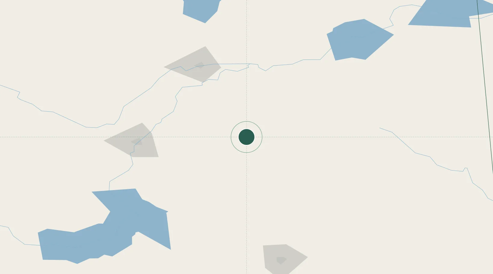
Location
Nearby Logistics Neighbours
Cities
- 1Saint-Gregor21 km
- 2Leroy34 km
- 3Lanigan40 km
- 4Spalding45 km
- 5Naicam49 km
Ports
- 1Churchill1002 km
- 2Duluth1115 km
- 3Superior1120 km
- 4Two Harbors1126 km
- 5Grand Marais1164 km
Airports
Trade Zones
- 1Global Transportation Hub Authority197 km
- 2Port Alberta - Edmonton FTZ573 km
- 3Winnipegs Centreport Canada613 km
- 4Calgary Region Inland Port631 km
- 5FTZ No. 187 Toole County646 km
DatabookThe Record of Consolidated Knowledge
Canada beyond logistics?