Transport Functions
Port
Road
Hub Profile
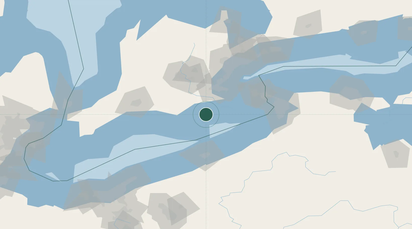
Place type
Populated place
Region
Ontario
Time zone
America/Toronto
Elevation
180 m
Location
Nearby Logistics Neighbours
Cities
- 1Jarvis10 km
- 2Windham Centre31 km
- 3Scotland34 km
- 4Delhi36 km
- 5Brant43 km
Ports
- 1Port Dover11 km
- 2Port Maitland40 km
- 3Thorold43 km
- 4Hamilton53 km
- 5Port Colborne67 km
Airports
Trade Zones
- 1FTZ No. 247 Erie76 km
- 2Niagara Foreign Trade Zone89 km
- 3FTZ No. 034 Niagara County97 km
- 4FTZ No. 023 Buffalo98 km
- 5FTZ No. 254 Jefferson County187 km
DatabookThe Record of Consolidated Knowledge
Canada beyond logistics?