Transport Functions
Rail
Road
Hub Profile
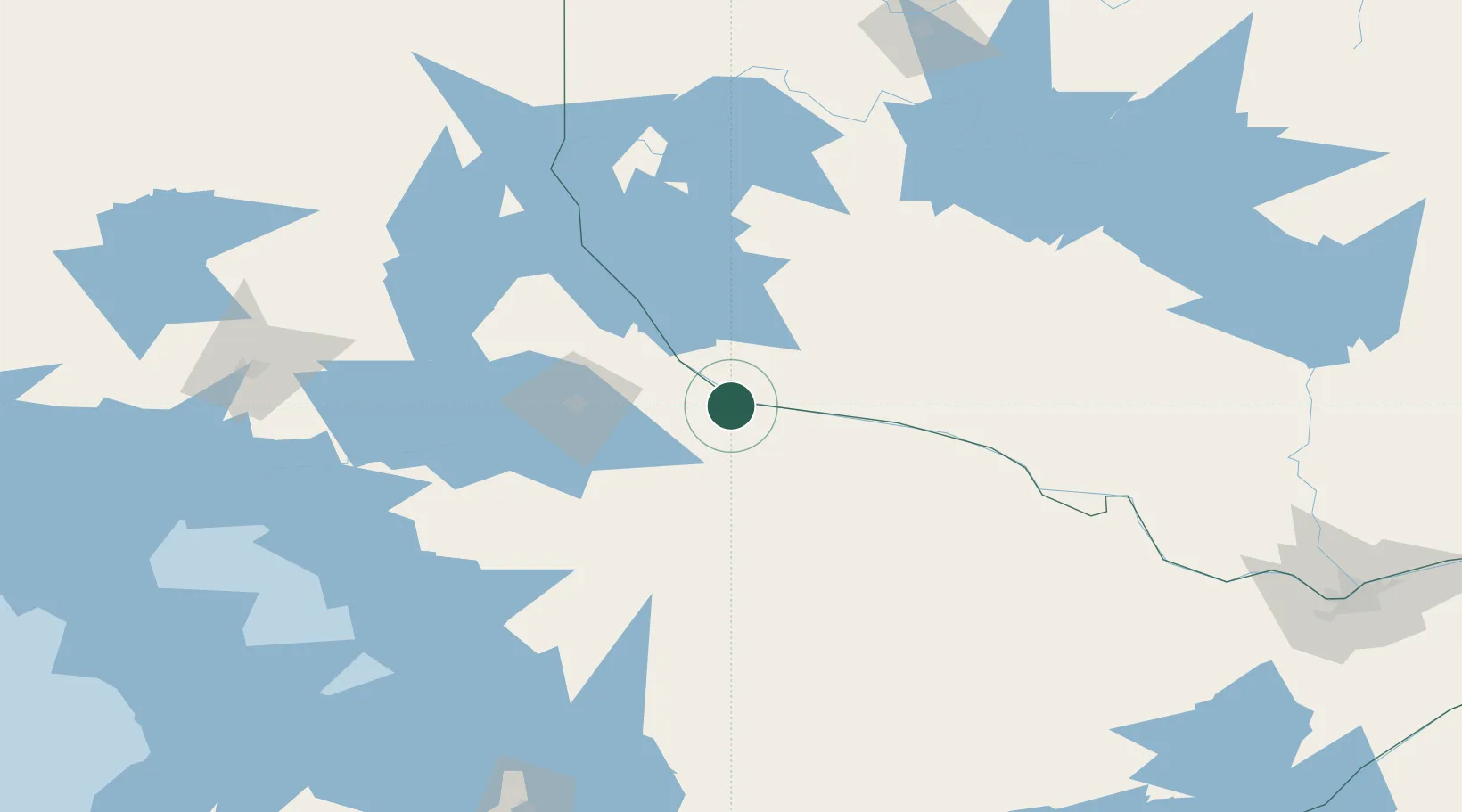
Place type
Populated place
Region
Ontario
Population
1,993
Time zone
America/Toronto
Elevation
161 m
Location
Nearby Logistics Neighbours
Cities
- 1North Bay56 km
- 2Joly72 km
- 3Burks Falls95 km
- 4Temagami117 km
- 5Laverlochère130 km
Ports
- 1Parry Sound150 km
- 2Byng Inlet155 km
- 3Key Harbour164 km
- 4Penetanguishene197 km
- 5Midland198 km
Airports
- 1North Bay Jack Garland Airport55 km
- 2Pembroke Airport124 km
- 3Muskoka Airport156 km
- 4Sudbury Airport163 km
- 5Earlton (Timiskaming Regional) Airport176 km
Trade Zones
- 1FTZ No. 118 Ogdensburg307 km
- 2FTZ No. 034 Niagara County334 km
- 3FTZ No. 109 Watertown341 km
- 4FTZ No. 141 Monroe County342 km
- 5Niagara Foreign Trade Zone360 km
DatabookThe Record of Consolidated Knowledge
Canada beyond logistics?