Transport Functions
Port
Road
Multimodal
Hub Profile
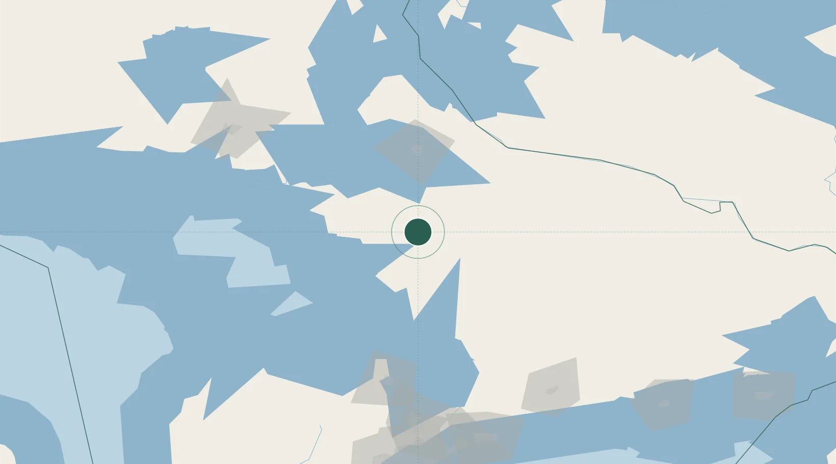
Place type
Populated place
Region
Ontario
Time zone
America/Toronto
Elevation
302 m
Location
Nearby Logistics Neighbours
Cities
- 1Joly23 km
- 2Crystal Beach65 km
- 3Bracebridge66 km
- 4Bala71 km
- 5North Bay74 km
Ports
- 1Parry Sound56 km
- 2Byng Inlet88 km
- 3Penetanguishene104 km
- 4Key Harbour105 km
- 5Midland105 km
Airports
- 1Muskoka Airport74 km
- 2North Bay Jack Garland Airport81 km
- 3Huronia Airport112 km
- 4Barrie-Lake Simcoe Regional Airport128 km
- 5Sudbury Airport152 km
Trade Zones
- 1FTZ No. 034 Niagara County258 km
- 2Niagara Foreign Trade Zone284 km
- 3FTZ No. 141 Monroe County286 km
- 4FTZ No. 023 Buffalo310 km
- 5FTZ No. 118 Ogdensburg325 km
DatabookThe Record of Consolidated Knowledge
Canada beyond logistics?