Medium airport · Canada
Muskoka AirportCYQA
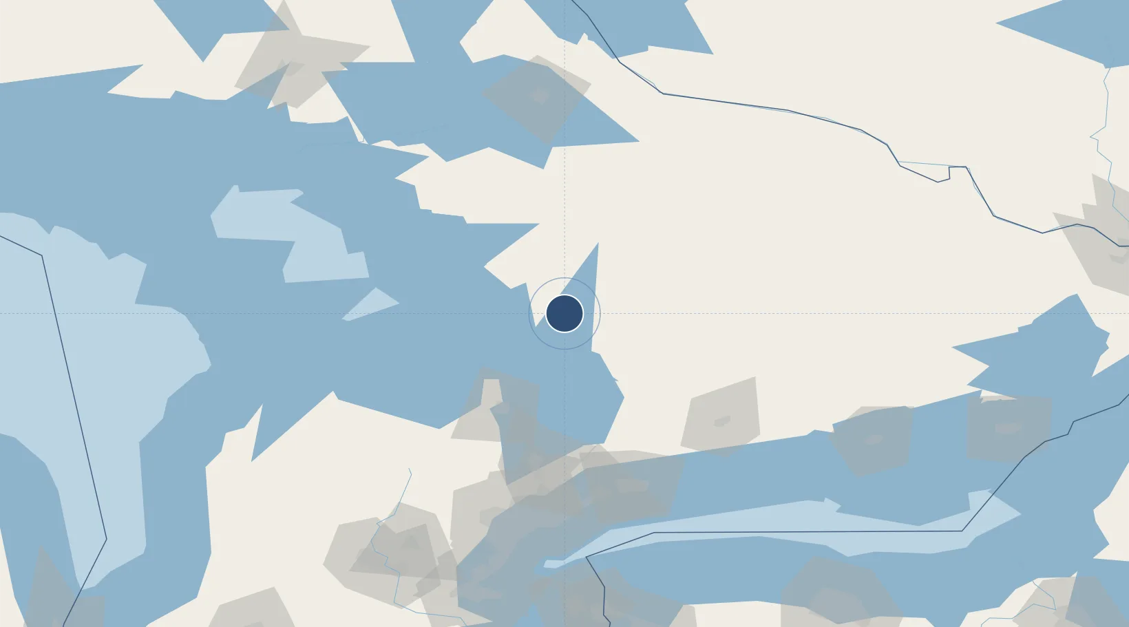
44.9754°, -79.3065°
6,000 ft
Longest runway
1
Runways
925 ft
Elevation
Runway & Layout

Radio Frequencies
AWOS
124.575 MHz
MF
122.3 MHz
Timmins Radio
RCO
123.475 MHz
LONDON RDO
Runways · 1
| Runway | Dimensions | Surface | True heading | Lit |
|---|---|---|---|---|
| 18/36 | 6,000 × 150ft | Asphalt | 169° | ✓ |
Airport Specifications
IATA code
YQA
ICAO code
CYQA
Airport class
Medium airport
Scheduled service
Yes
Runway surface
Asphalt
Served city
Gravenhurst
Location
Nearby Logistics Neighbours
Airports
Cities
- 1Bracebridge8 km
- 2Crystal Beach11 km
- 3Bala23 km
- 4Victoria Harbour44 km
- 5Penetanguishene55 km
Ports
- 1Midland54 km
- 2Penetanguishene55 km
- 3Parry Sound70 km
- 4Collingwood90 km
- 5Thornbury101 km
Trade Zones
- 1FTZ No. 034 Niagara County184 km
- 2Niagara Foreign Trade Zone210 km
- 3FTZ No. 141 Monroe County216 km
- 4FTZ No. 023 Buffalo236 km
- 5FTZ No. 090 Onondaga278 km
DatabookThe Record of Consolidated Knowledge
Canada beyond logistics?