Channel & Berth Profile
Pilotage, Tugs & Services
Pilotage compulsoryYES
Tug assistanceYES
Potable waterYES
Diesel bunkersYES
MedicalYES
Facilities & Capabilities
Container—
Ro-Ro—
Liquid bulk—
Dry bulk—
Oil terminal—
Break bulk—
Dry dock—
RepairsNO
BunkeringYES
Rail linkYES
Dangerous cargo—
ISPS security—
Harbour Specifications
Harbour size
Very Small
Harbour type
Coastal (Natural)
Shelter
Excellent
Water body
Lake Huron; Great Lakes
Overhead limit
No
Pilotage
Yes
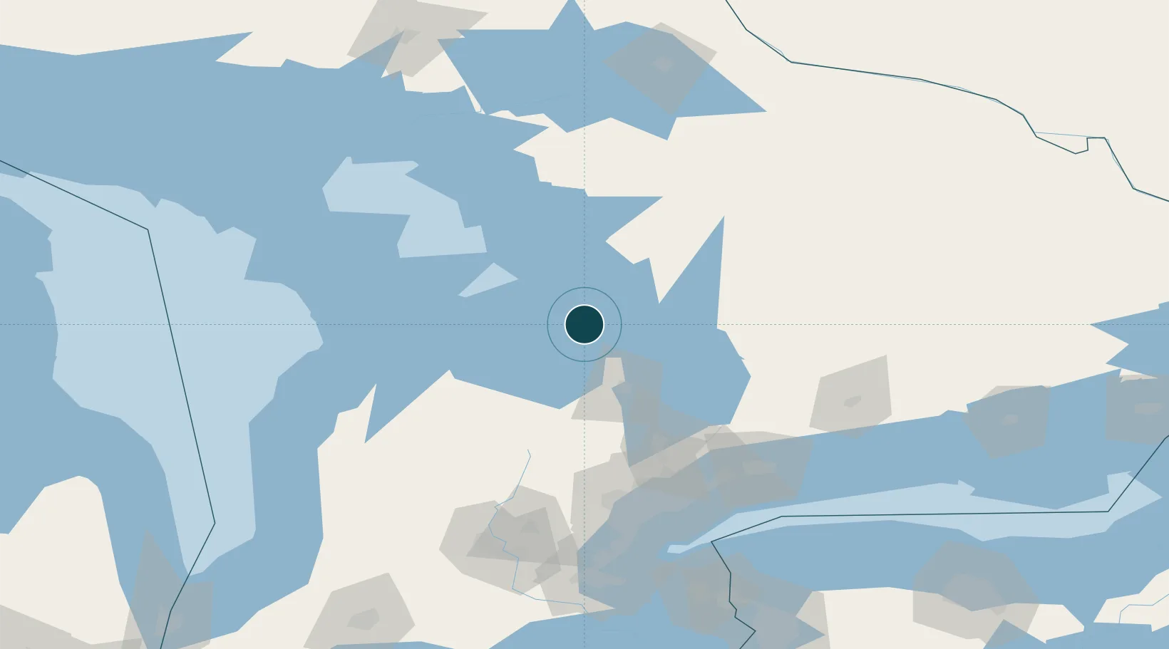
Location
Nearby Logistics Neighbours
Ports
- 1Midland2 km
- 2Collingwood38 km
- 3Thornbury47 km
- 4Meaford55 km
- 5Parry Sound64 km
Cities
- 1Victoria Harbour13 km
- 2Elmvale22 km
- 3Duntroon33 km
- 4Bala37 km
- 5Midhurst39 km
Airports
Trade Zones
- 1FTZ No. 034 Niagara County173 km
- 2Niagara Foreign Trade Zone199 km
- 3FTZ No. 023 Buffalo227 km
- 4FTZ No. 141 Monroe County228 km
- 5FTZ No. 289 Ontario County289 km
DatabookThe Record of Consolidated Knowledge
Canada beyond logistics?