UN/LOCODE hub · Canada
CAJYQ

Joly

45.7833°, -79.2500°
2
Transport functions

Transport Functions

Road
Multimodal
UN/LOCODE

Hub Profile

Region
ON
GeoNames

Location

Location of CAJYQ
Natural Earth 10m (public domain) · ON · CAJYQ · 45.78, -79.25GoogleOSMYandex

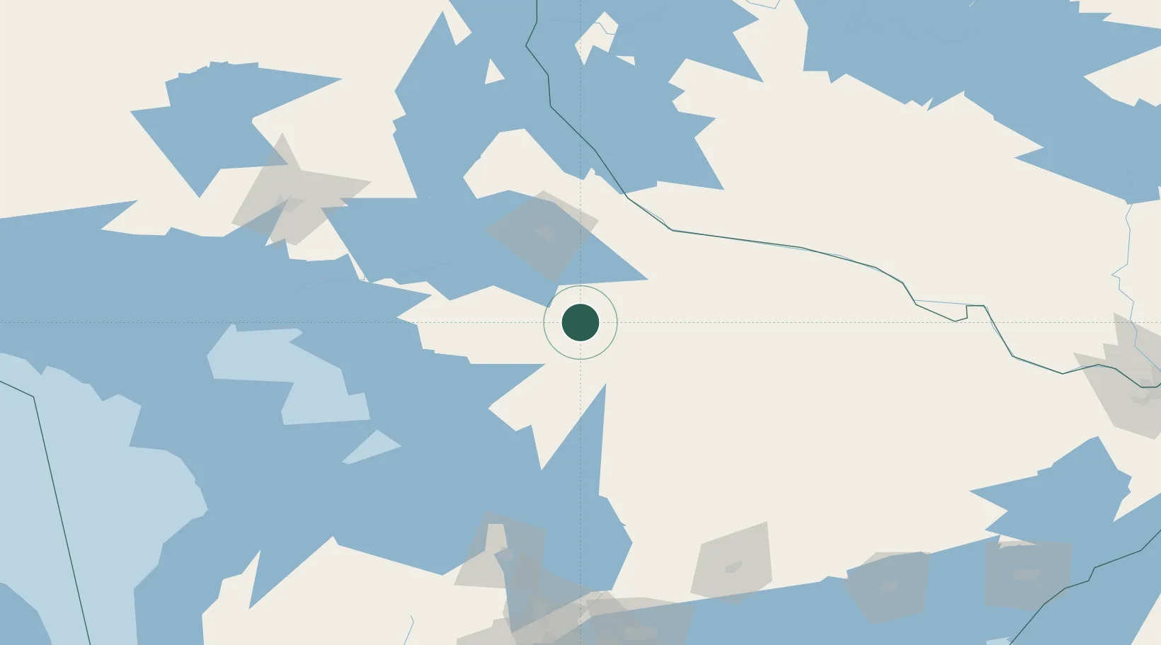
Nearby Logistics Neighbours

Cities
  1. 1Burks Falls23 km
  2. 2North Bay60 km
  3. 3Mattawa72 km
  4. 4Bracebridge82 km
  5. 5Crystal Beach82 km
Nearest neighbours — logibook spatial index (haversine) over the source coordinates
Ports
  1. 1Parry Sound79 km
  2. 2Byng Inlet102 km
  3. 3Key Harbour117 km
  4. 4Penetanguishene125 km
  5. 5Midland126 km
Nearest neighbours — logibook spatial index (haversine) over the source coordinates
Airports
  1. 1North Bay Jack Garland Airport66 km
  2. 2Muskoka Airport90 km
  3. 3Huronia Airport133 km
  4. 4Barrie-Lake Simcoe Regional Airport146 km
  5. 5Sudbury Airport152 km
Nearest neighbours — logibook spatial index (haversine) over the source coordinates
Trade Zones
  1. 1FTZ No. 034 Niagara County273 km
  2. 2FTZ No. 141 Monroe County296 km
  3. 3Niagara Foreign Trade Zone300 km
  4. 4FTZ No. 118 Ogdensburg316 km
  5. 5FTZ No. 023 Buffalo325 km
Nearest neighbours — logibook spatial index (haversine) over the source coordinates
DatabookThe Record of Consolidated Knowledge
Canada beyond logistics?
Browse databook

All Sources

LocationsUN/LOCODE
UN/LOCODE — free
Portsthe NGA World Port Index
Public domain (US gov)
AirportsOurAirports
Public domain
Trade Zonesthe World Bank SEZ database
CC BY 4.0
Trade ZonesOpen Zone Map
CC BY
← Canada locations