Transport Functions
Rail
Road
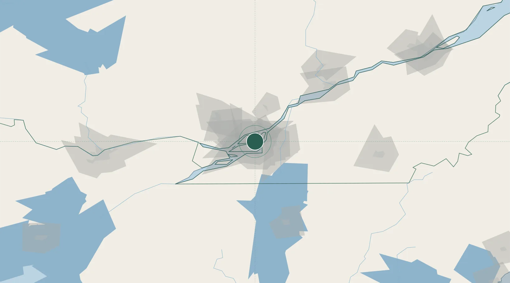
Hub Profile
Place type
Local administrative seat
Region
Quebec
Population
86,857
Time zone
America/Toronto
Elevation
24 m
Location
Nearby Logistics Neighbours
Cities
- 1Longue-Pointe8 km
- 2Montreal9 km
- 3Montréal-Est11 km
- 4Pointe-aux-Trembles13 km
- 5Terrebonne13 km
Ports
- 1Montreal9 km
- 2Beauharnois36 km
- 3Vaudreuil38 km
- 4Oka Sur Le Lac39 km
- 5Hudson42 km
Airports
Trade Zones
- 1Greater Montreal Free Zone Center9 km
- 2FTZ No. 118 Ogdensburg177 km
- 3Québec City FTZ229 km
- 4FTZ No. 109 Watertown253 km
- 5FTZ No. 268 Brattleboro313 km
DatabookThe Record of Consolidated Knowledge
Canada beyond logistics?