Transport Functions
Multimodal
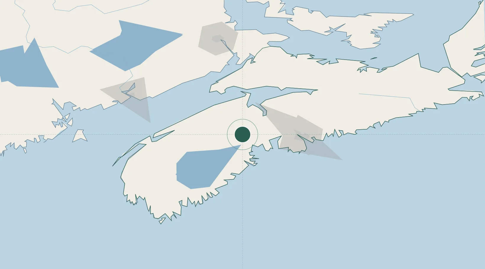
Hub Profile
Place type
Populated place
Region
Nova Scotia
Time zone
America/Halifax
Elevation
135 m
Location
Nearby Logistics Neighbours
Cities
- 1Cleveland36 km
- 2Windsor39 km
- 3Port Williams41 km
- 4Wolfville41 km
- 5Berwick42 km
Ports
- 1Windsor39 km
- 2Halifax69 km
- 3Liverpool (Brooklyn)78 km
- 4Musquodoboit Harbour103 km
- 5Digby105 km
Airports
- 1CFB Greenwood47 km
- 2Halifax / Stanfield International Airport77 km
- 3Digby / Annapolis Regional Airport107 km
- 4Saint John Airport131 km
- 5Fox Harbour Airport150 km
Trade Zones
- 1Halifax Gateway69 km
- 2Saint John142 km
- 3Cape Breton Regional Municipality Foreign Trade Zone331 km
- 4FTZ No. 058 Bangor345 km
- 5FTZ No. 179 Madawaska414 km
DatabookThe Record of Consolidated Knowledge
Canada beyond logistics?