Transport Functions
Port
Road
Hub Profile
Place type
Populated place
Region
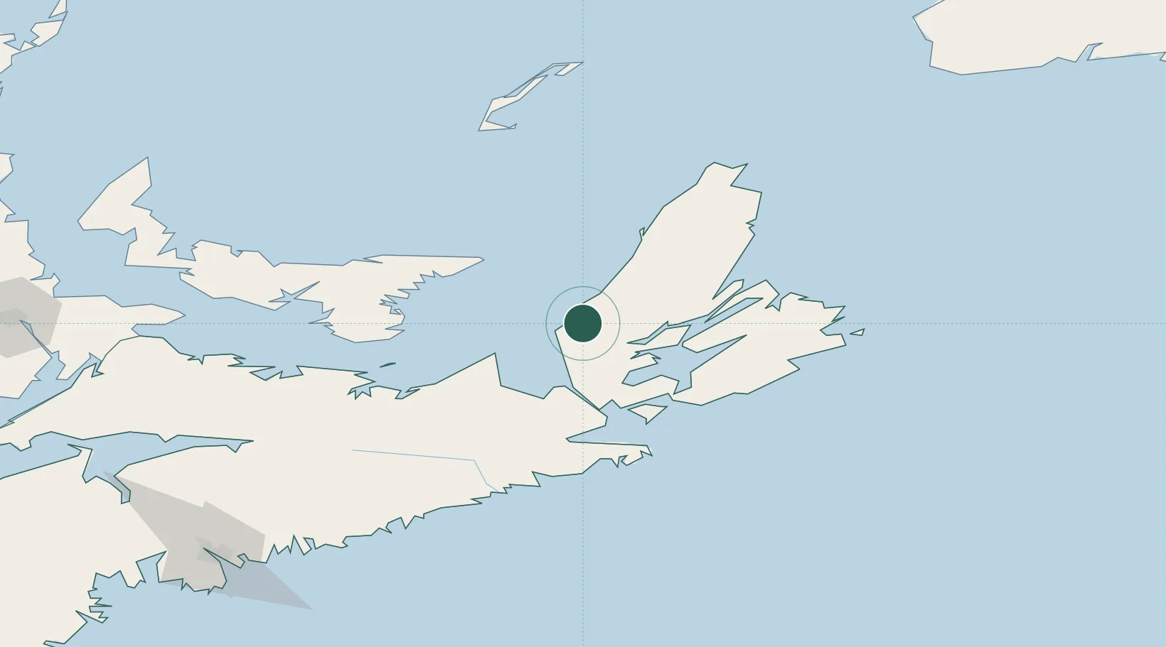
Nova Scotia
Population
1,207
Time zone
America/Halifax
Elevation
20 m
Location
Nearby Logistics Neighbours
Cities
- 1Orangedale29 km
- 2Point Tupper52 km
- 3Saint-Peters61 km
- 4Elmira67 km
- 5Chéticamp67 km
Ports
- 1Port Hastings46 km
- 2Port Hawkesbury50 km
- 3North Sydney89 km
- 4Georgetown90 km
- 5Sydney92 km
Airports
- 1Port Hawkesbury Airport46 km
- 2Sydney / J.A. Douglas McCurdy Airport103 km
- 3Charlottetown Airport136 km
- 4Îles-de-la-Madeleine Airport154 km
- 5Fox Harbour Airport162 km
Trade Zones
- 1Cape Breton Regional Municipality Foreign Trade Zone50 km
- 2Halifax Gateway233 km
- 3Saint John374 km
- 4FTZ No. 179 Madawaska548 km
- 5FTZ No. 058 Bangor596 km
DatabookThe Record of Consolidated Knowledge
Canada beyond logistics?