Transport Functions
Port
Road
Hub Profile
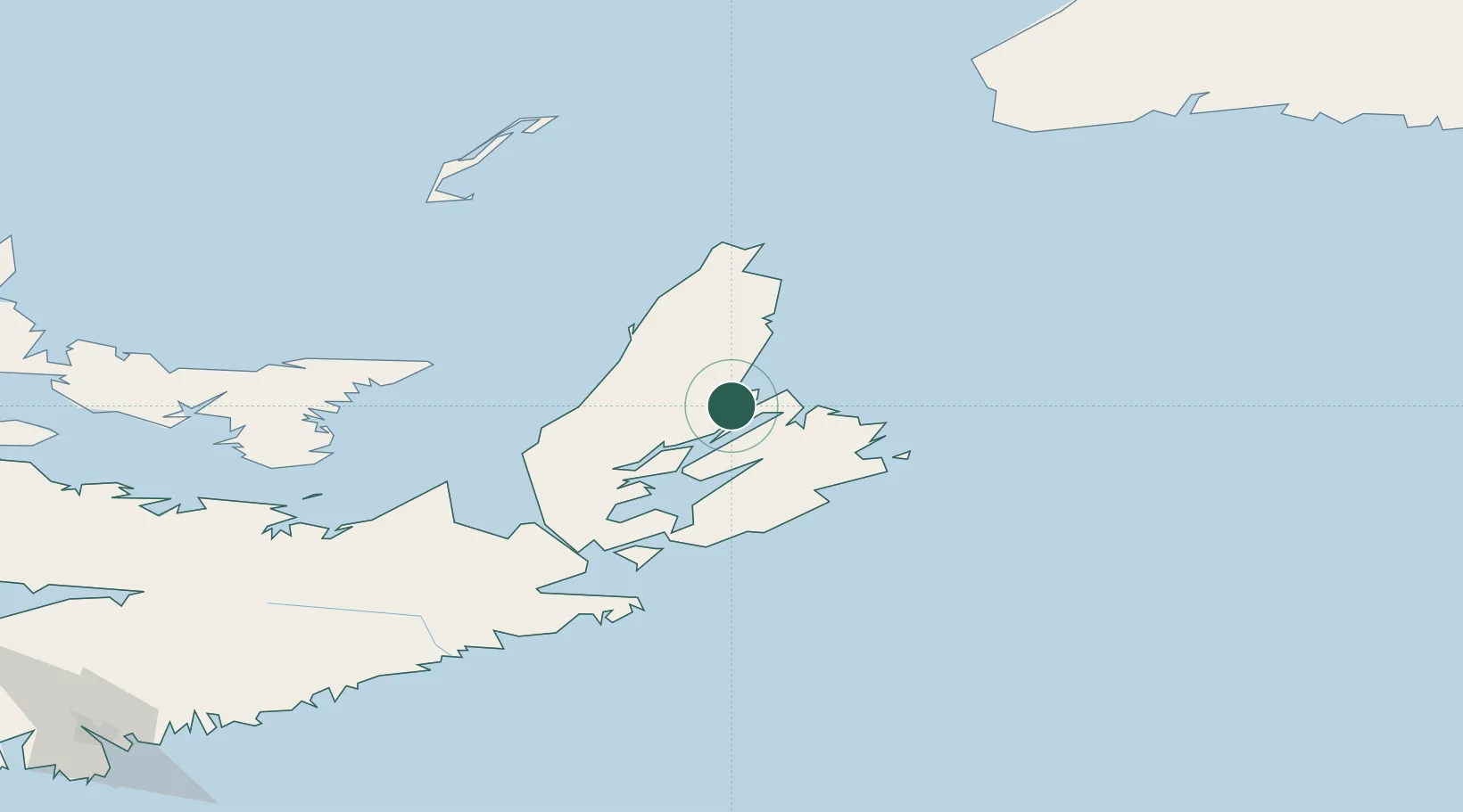
Place type
Populated place
Region
Nova Scotia
Time zone
America/Halifax
Elevation
10 m
Location
Nearby Logistics Neighbours
Cities
- 1Millville17 km
- 2Glace Bay45 km
- 3Chéticamp54 km
- 4Louisbourg57 km
- 5Orangedale58 km
Ports
- 1North Sydney23 km
- 2Sydney29 km
- 3Louisbourg58 km
- 4Port Hastings94 km
- 5Port Hawkesbury95 km
Airports
- 1Sydney / J.A. Douglas McCurdy Airport40 km
- 2Port Hawkesbury Airport91 km
- 3Îles-de-la-Madeleine Airport161 km
- 4Charlottetown Airport198 km
- 5Fox Harbour Airport229 km
Trade Zones
- 1Cape Breton Regional Municipality Foreign Trade Zone18 km
- 2Halifax Gateway296 km
- 3Saint John442 km
- 4Crossroads Business Park539 km
- 5FTZ No. 179 Madawaska604 km
DatabookThe Record of Consolidated Knowledge
Canada beyond logistics?