Transport Functions
Port
Hub Profile
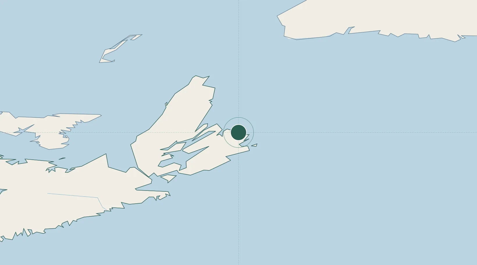
Place type
Populated place
Region
Nova Scotia
Population
16,915
Time zone
America/Glace_Bay
Elevation
15 m
Location
Nearby Logistics Neighbours
Cities
- 1Millville29 km
- 2Louisbourg32 km
- 3Neil's Harbour45 km
- 4Dingwall87 km
- 5Saint-Peters93 km
Ports
- 1Sydney19 km
- 2North Sydney22 km
- 3Louisbourg32 km
- 4Port Hawkesbury126 km
- 5Port Hastings127 km
Airports
- 1Sydney / J.A. Douglas McCurdy Airport8 km
- 2Port Hawkesbury Airport124 km
- 3Îles-de-la-Madeleine Airport194 km
- 4Charlottetown Airport243 km
- 5Fox Harbour Airport272 km
Trade Zones
- 1Cape Breton Regional Municipality Foreign Trade Zone60 km
- 2Halifax Gateway331 km
- 3Saint John484 km
- 4Crossroads Business Park507 km
- 5FTZ No. 179 Madawaska649 km
DatabookThe Record of Consolidated Knowledge
Canada beyond logistics?