Transport Functions
Road
Multimodal
Hub Profile
Place type
Urban district
Region
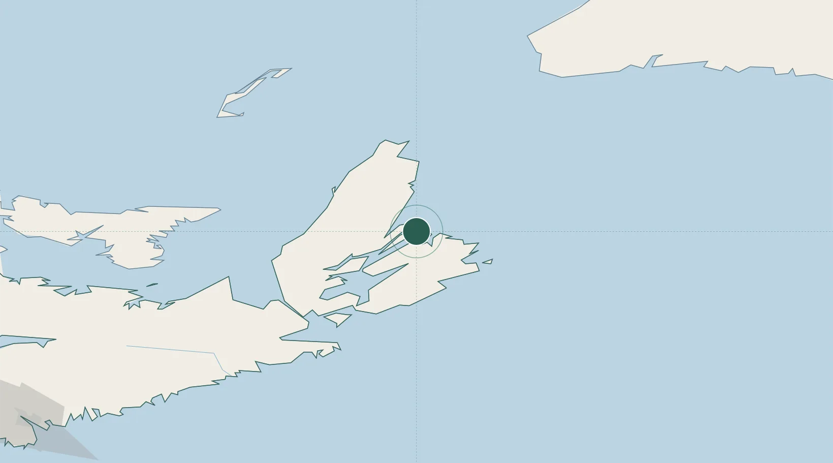
Newfoundland and Labrador
Time zone
America/St_Johns
Elevation
19 m
Location
Nearby Logistics Neighbours
Cities
- 1Neil's Harbour17 km
- 2Glace Bay29 km
- 3Louisbourg47 km
- 4Chéticamp65 km
- 5Dingwall71 km
Ports
- 1North Sydney9 km
- 2Sydney17 km
- 3Louisbourg48 km
- 4Port Hastings107 km
- 5Port Hawkesbury108 km
Airports
- 1Sydney / J.A. Douglas McCurdy Airport25 km
- 2Port Hawkesbury Airport105 km
- 3Îles-de-la-Madeleine Airport169 km
- 4Charlottetown Airport215 km
- 5Fox Harbour Airport245 km
Trade Zones
- 1Cape Breton Regional Municipality Foreign Trade Zone34 km
- 2Halifax Gateway311 km
- 3Saint John458 km
- 4Crossroads Business Park524 km
- 5FTZ No. 179 Madawaska620 km
DatabookThe Record of Consolidated Knowledge
Canada beyond logistics?