Transport Functions
Port
Road
Hub Profile
Place type
Populated place
Region
Nova Scotia
Population
1,265
Time zone
America/Glace_Bay
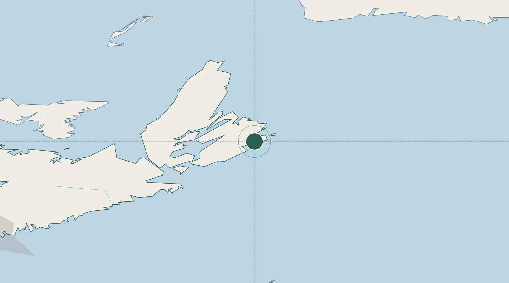
Location
Nearby Logistics Neighbours
Cities
- 1Glace Bay32 km
- 2Millville47 km
- 3Neil's Harbour57 km
- 4Saint-Peters75 km
- 5Orangedale86 km
Ports
- 1Sydney31 km
- 2North Sydney39 km
- 3Port Hawkesbury112 km
- 4Port Hastings114 km
- 5Goldsboro153 km
Airports
- 1Sydney / J.A. Douglas McCurdy Airport28 km
- 2Port Hawkesbury Airport111 km
- 3Îles-de-la-Madeleine Airport217 km
- 4Charlottetown Airport246 km
- 5Fox Harbour Airport269 km
Trade Zones
- 1Cape Breton Regional Municipality Foreign Trade Zone65 km
- 2Halifax Gateway315 km
- 3Saint John479 km
- 4Crossroads Business Park528 km
- 5FTZ No. 179 Madawaska656 km
DatabookThe Record of Consolidated Knowledge
Canada beyond logistics?