UN/LOCODE hub · Canada
CAPBQ
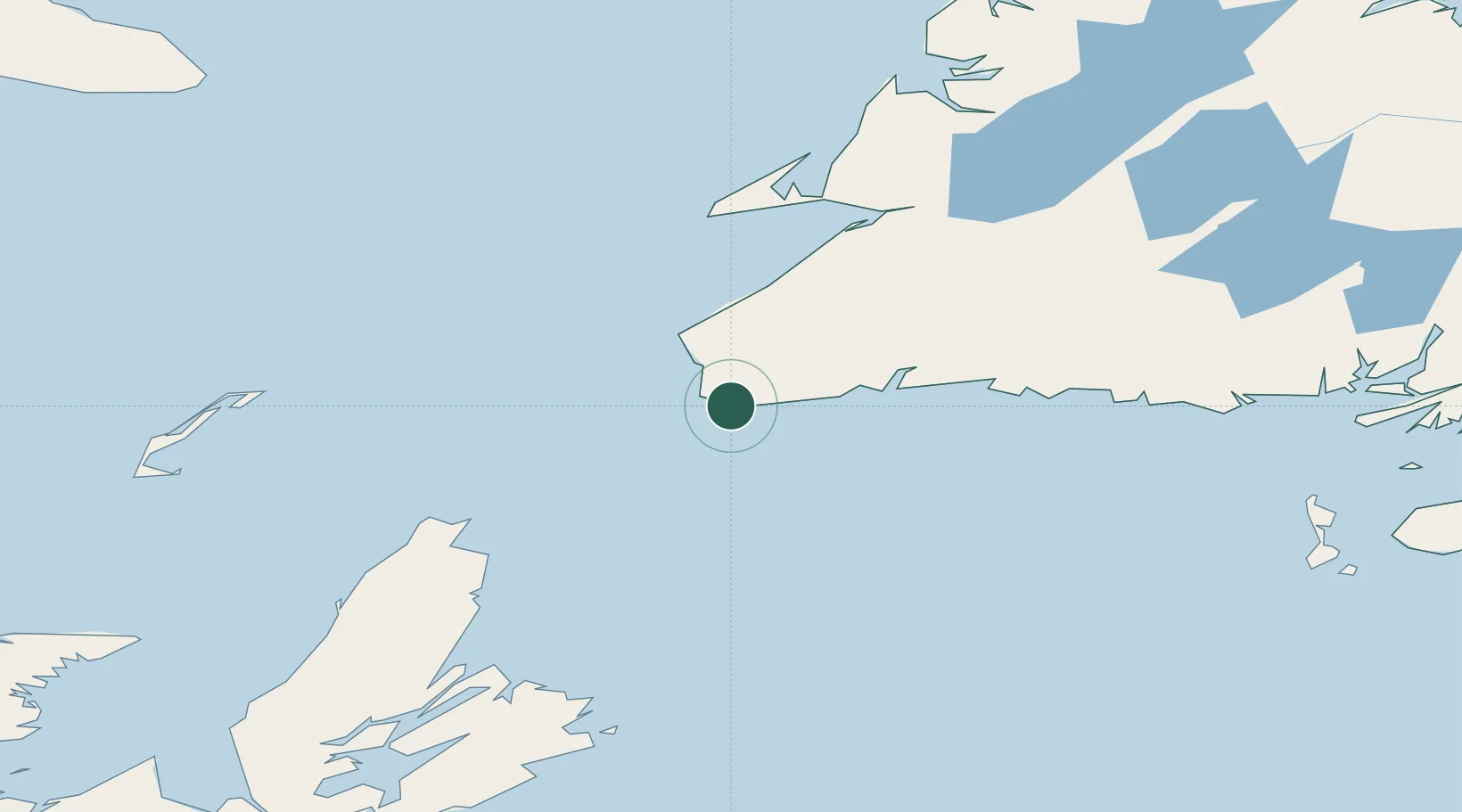
Channel-Port aux Basques
47.5667°, -59.1500°
4,220
Population
2
Transport functions
Transport Functions
Port
Road
Hub Profile
Place type
Populated place
Region
Newfoundland and Labrador
Population
4,220
Time zone
America/St_Johns
Elevation
5 m
Location
Nearby Logistics Neighbours
Cities
- 1Cape Ray14 km
- 2Robinsons81 km
- 3Lower Cove106 km
- 4Aguathuna113 km
- 5Burgeo114 km
Ports
- 1Burgeo116 km
- 2Stephenville117 km
- 3North Sydney172 km
- 4Sydney177 km
- 5Corner Brook178 km
Airports
- 1Stephenville Dymond International Airport117 km
- 2Sydney / J.A. Douglas McCurdy Airport171 km
- 3Îles-de-la-Madeleine Airport198 km
- 4Miquelon Airport215 km
- 5Deer Lake Airport224 km
Trade Zones
- 1Cape Breton Regional Municipality Foreign Trade Zone198 km
- 2Crossroads Business Park372 km
- 3Halifax Gateway471 km
- 4Saint John588 km
- 5FTZ No. 179 Madawaska692 km
DatabookThe Record of Consolidated Knowledge
Canada beyond logistics?