Transport Functions
Rail
Road
Hub Profile
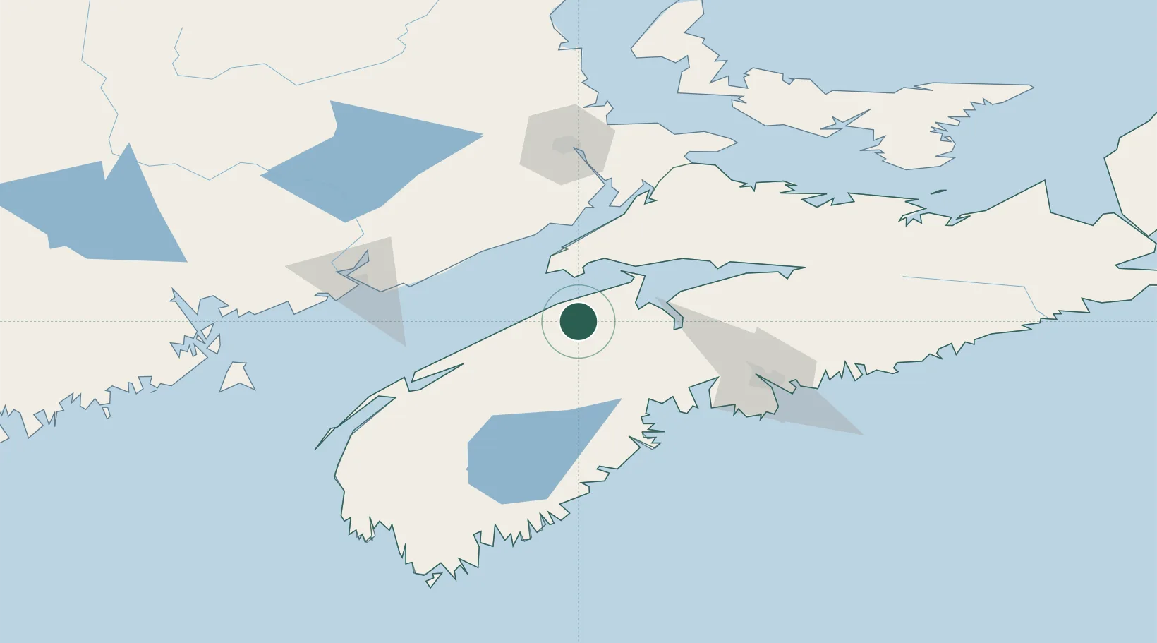
Place type
Populated place
Region
Nova Scotia
Population
2,455
Time zone
America/Halifax
Elevation
33 m
Location
Nearby Logistics Neighbours
Cities
- 1Port Williams27 km
- 2Middleton29 km
- 3Wolfville29 km
- 4Avonport39 km
- 5New Ross42 km
Ports
- 1Windsor46 km
- 2Digby94 km
- 3Canaport (St. John)100 km
- 4Halifax100 km
- 5St John107 km
Airports
Trade Zones
- 1Halifax Gateway100 km
- 2Saint John108 km
- 3FTZ No. 058 Bangor322 km
- 4Cape Breton Regional Municipality Foreign Trade Zone335 km
- 5FTZ No. 179 Madawaska374 km
DatabookThe Record of Consolidated Knowledge
Canada beyond logistics?