Transport Functions
Rail
Road
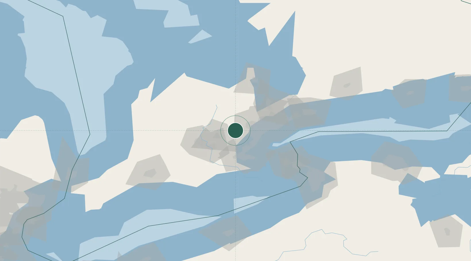
Hub Profile
Place type
Populated place
Region
Ontario
Time zone
America/Toronto
Elevation
315 m
Location
Nearby Logistics Neighbours
Cities
- 1Halton Hills3 km
- 2Georgetown6 km
- 3Norval9 km
- 4Rockwood12 km
- 5Belfountain19 km
Ports
- 1Port Credit34 km
- 2Oakville34 km
- 3Clarkson34 km
- 4Hamilton44 km
- 5Toronto48 km
Airports
Trade Zones
- 1FTZ No. 034 Niagara County78 km
- 2Niagara Foreign Trade Zone97 km
- 3FTZ No. 023 Buffalo123 km
- 4FTZ No. 141 Monroe County168 km
- 5FTZ No. 247 Erie169 km
DatabookThe Record of Consolidated Knowledge
Canada beyond logistics?