UN/LOCODE hub · Belarus
BYSGA

Smorgon

54.4833°, 26.4167°
3
Transport functions

Transport Functions

Rail
Road
Multimodal
UN/LOCODE

Location

Location of BYSGA
Natural Earth 10m (public domain) · Grodno · BYSGA · 54.48, 26.42GoogleOSMYandex

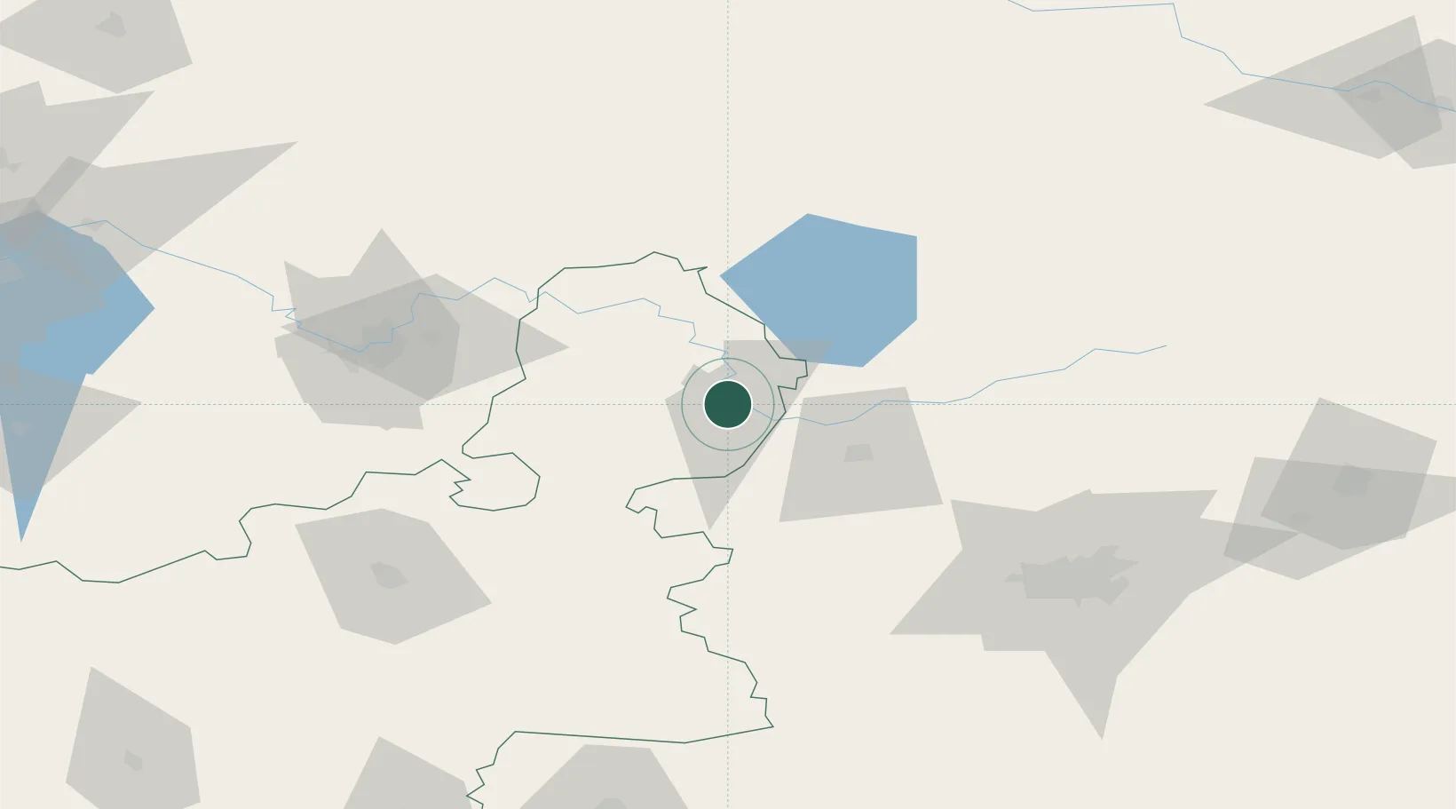
Nearby Logistics Neighbours

Cities
  1. 1Maladzyechna35 km
  2. 2Kena50 km
  3. 3Pabrade70 km
  4. 4Salcininkai71 km
  5. 5Vilnius74 km
Nearest neighbours — logibook spatial index (haversine) over the source coordinates
Ports
  1. 1Riga310 km
  2. 2Salacgriva380 km
  3. 3Parnu450 km
  4. 4Roomassaare480 km
  5. 5Virtsu489 km
Nearest neighbours — logibook spatial index (haversine) over the source coordinates
Airports
  1. 1Vilnius International Airport75 km
  2. 2Minsk National Airport125 km
  3. 3Jonava Air Base144 km
  4. 4Baranavichi Air Base156 km
  5. 5Kaunas International Airport159 km
Nearest neighbours — logibook spatial index (haversine) over the source coordinates
Trade Zones
  1. 1Great Stone Industrial Park (China Belarus Industrial Park)120 km
  2. 2Free Economic Zone Minsk120 km
  3. 3Belarus High Technologies Park122 km
  4. 4Kaunas Free Economic Zone163 km
  5. 5Kėdainiai Free Economic Zone178 km
Nearest neighbours — logibook spatial index (haversine) over the source coordinates
DatabookThe Record of Consolidated Knowledge
Belarus beyond logistics?
Browse databook

All Sources

LocationsUN/LOCODE
UN/LOCODE — free
Portsthe NGA World Port Index
Public domain (US gov)
AirportsOurAirports
Public domain
Trade Zonesthe World Bank SEZ database
CC BY 4.0
Trade ZonesOpen Zone Map
CC BY
← Belarus locations