Transport Functions
Rail
Road
Hub Profile
Place type
Populated place
Region
Minas Gerais
Population
61,387
Time zone
America/Sao_Paulo
Elevation
707 m
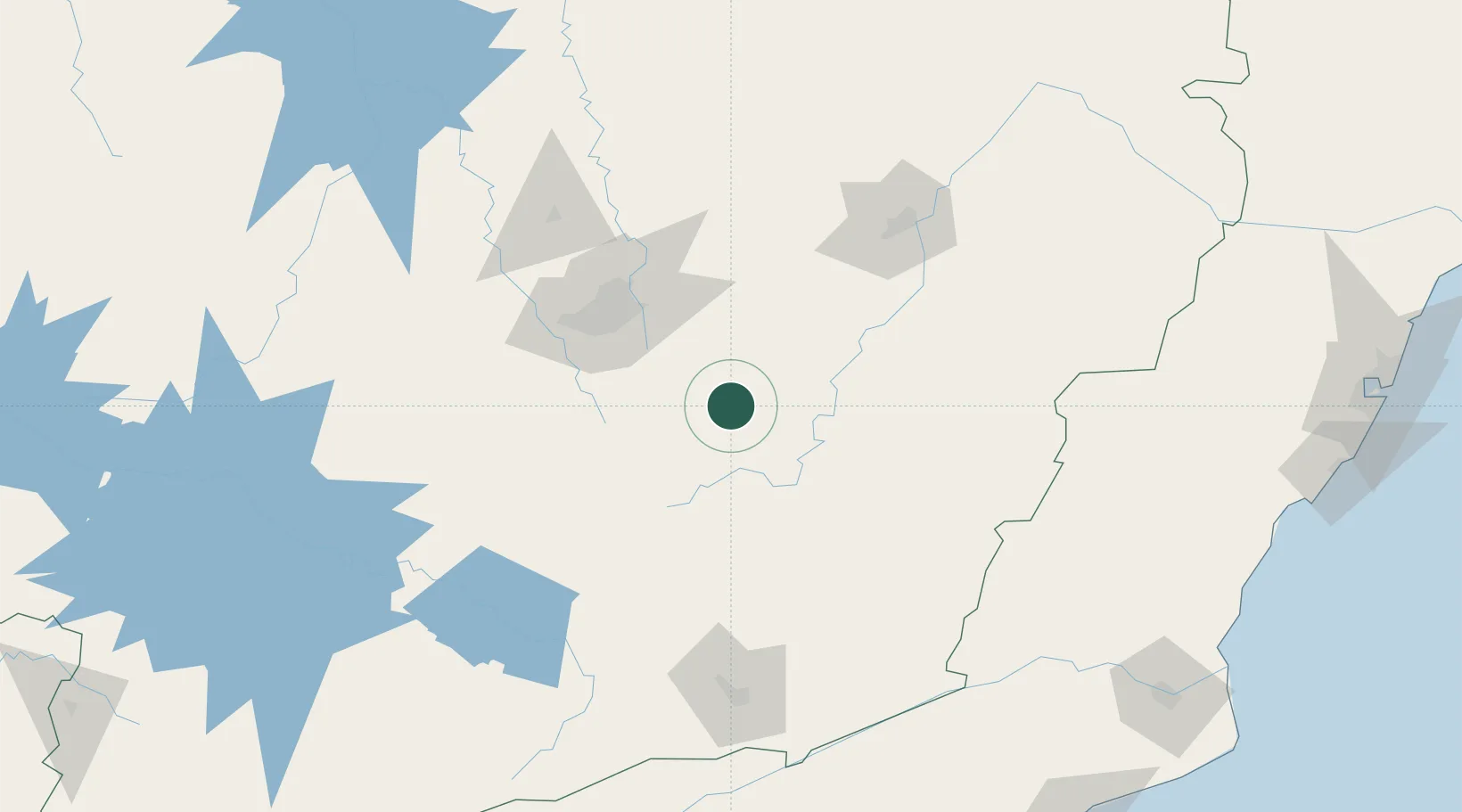
Location
Nearby Logistics Neighbours
Cities
- 1Ouro Preto11 km
- 2Ouro Branco34 km
- 3Santa Bárbara46 km
- 4Barão de Cocais49 km
- 5Congonhas49 km
Ports
- 1Macae279 km
- 2Niteroi281 km
- 3Rio De Janeiro283 km
- 4Angra Dos Reis310 km
- 5Vitoria320 km
Airports
Trade Zones
- 1ZPE de Itaguaí (RJ)285 km
- 2ZPE do Açú (RJ)294 km
- 3ZPE de Teófilo Otoni (MG)343 km
- 4ZPE de Aracruz (ES)357 km
- 5ZPE de Uberaba (MG)485 km
DatabookThe Record of Consolidated Knowledge
Brazil beyond logistics?