Transport Functions
Rail
Road
Airport
Hub Profile
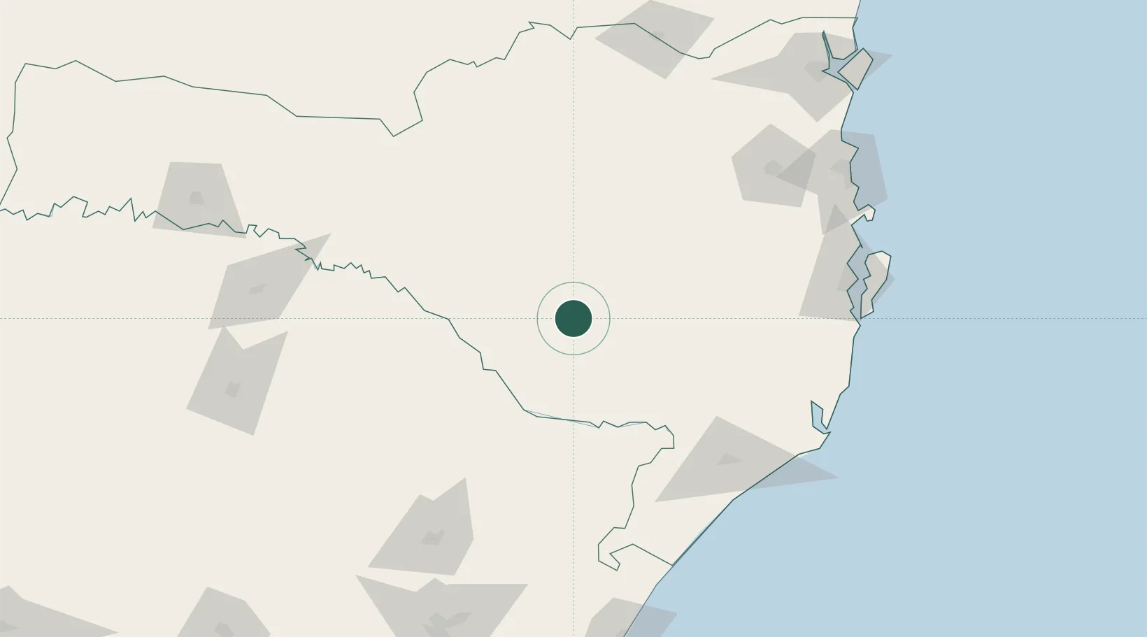
Place type
Populated place
Region
Santa Catarina
Population
164,676
Time zone
America/Sao_Paulo
Elevation
917 m
Location
Nearby Logistics Neighbours
Cities
- 1Siderópolis123 km
- 2Urussanga125 km
- 3Criciúma134 km
- 4Sangão146 km
- 5Capivari de Baixo151 km
Ports
- 1Laguna168 km
- 2Imbituba169 km
- 3Itajai194 km
- 4Sao Francisco241 km
- 5Tramandai242 km
Airports
Trade Zones
- 1ZPE de Imbituba (SC)175 km
- 2Zona Franca Puerto Iguazu Free Trade Zone489 km
- 3Zona Franca Internacional507 km
- 4ZPE de Rio Grande (RS)507 km
- 5Zona Franca Global508 km
DatabookThe Record of Consolidated Knowledge
Brazil beyond logistics?