Transport Functions
Rail
Road
Hub Profile
Place type
Populated place
Region
Minas Gerais
Population
38,915
Time zone
America/Sao_Paulo
Elevation
757 m
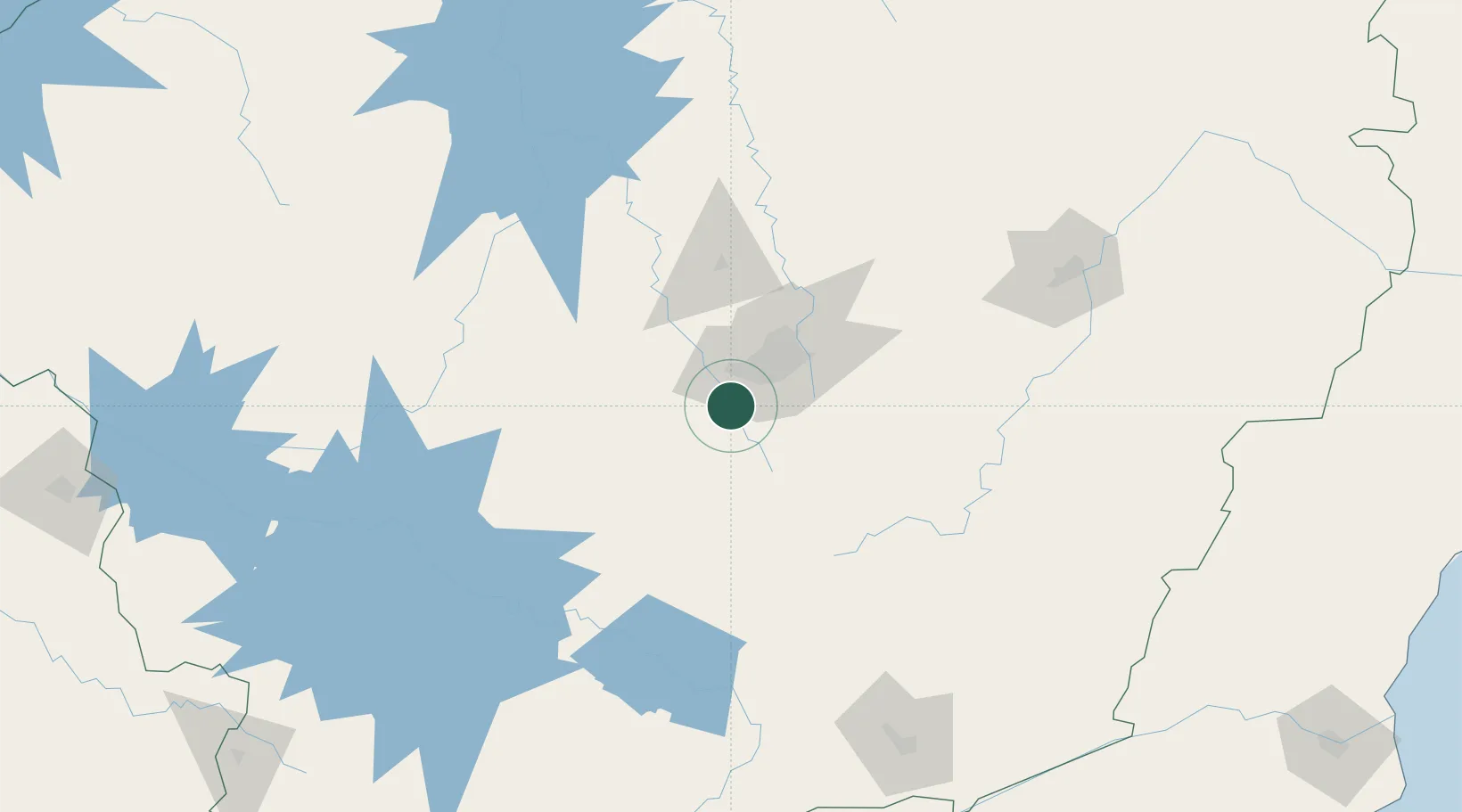
Location
Nearby Logistics Neighbours
Cities
- 1Sarzedo10 km
- 2Betim21 km
- 3Contagem30 km
- 4Belo Horizonte37 km
- 5Itaúna39 km
Ports
- 1Angra Dos Reis321 km
- 2Niteroi326 km
- 3Rio De Janeiro326 km
- 4Macae354 km
- 5Porto Do Forno388 km
Airports
Trade Zones
- 1ZPE de Itaguaí (RJ)312 km
- 2ZPE do Açú (RJ)379 km
- 3ZPE de Teófilo Otoni (MG)381 km
- 4ZPE de Uberaba (MG)399 km
- 5ZPE de Aracruz (ES)436 km
DatabookThe Record of Consolidated Knowledge
Brazil beyond logistics?