Transport Functions
Port
Road
Hub Profile
Place type
Populated place
Region
La Paz Department
Time zone
America/La_Paz
Elevation
3,921 m
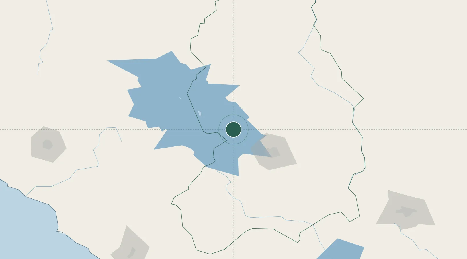
Location
Nearby Logistics Neighbours
Cities
- 1Puerto Pérez15 km
- 2Copacabana37 km
- 3Guaqui49 km
- 4Puerto Carabuco59 km
- 5El Alto71 km
Ports
- 1Rada De Arica307 km
- 2Puerto Ilo324 km
- 3Bahia De Matarani372 km
- 4Iquique473 km
- 5Caleta Patillos531 km
Airports
DatabookThe Record of Consolidated Knowledge
Bolivia beyond logistics?