Transport Functions
Rail
Road
Hub Profile
Place type
Regional capital
Region
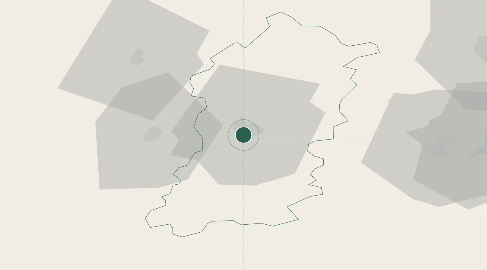
Shumen
Population
72,342
Time zone
Europe/Sofia
Elevation
237 m
Location
Nearby Logistics Neighbours
Cities
- 1Lyuliakovo15 km
- 2Targovishte27 km
- 3Lomci57 km
- 4Liaskovec59 km
- 5Aitos67 km
Airports
- 1Varna Airport74 km
- 2Burgas Airport92 km
- 3Gorna Oryahovitsa Airport98 km
- 4Bezmer Air Base101 km
- 5Balchik Airfield104 km
Trade Zones
- 1Bourgas Free Economic Zone93 km
- 2Rousse Free Zone100 km
- 3Free Zone Giurgiu104 km
- 4Free Zone Constanō£a Sud si Basarabi148 km
- 5VGP Park Buharest North155 km
DatabookThe Record of Consolidated Knowledge
Bulgaria beyond logistics?