Transport Functions
Port
Road
Hub Profile
Place type
Populated place
Region
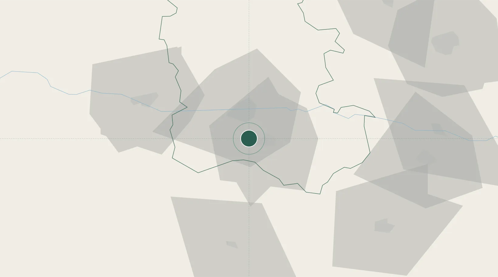
Plovdiv
Time zone
Europe/Sofia
Elevation
311 m
Location
Nearby Logistics Neighbours
Cities
- 1Radinovo21 km
- 2Stamboliyski22 km
- 3Stryama26 km
- 4Tvardica32 km
- 5Saedinenie32 km
Ports
- 1Lagos119 km
- 2Kavala126 km
- 3Alexandroupoli162 km
- 4Stratoni186 km
- 5Thessaloniki219 km
Airports
- 1Plovdiv International Airport7 km
- 2Graf Ignatievo Air Base29 km
- 3Kavala Alexander the Great International Airport125 km
- 4Sofia Airport134 km
- 5Bezmer Air Base137 km
Trade Zones
DatabookThe Record of Consolidated Knowledge
Bulgaria beyond logistics?