Transport Functions
Multimodal
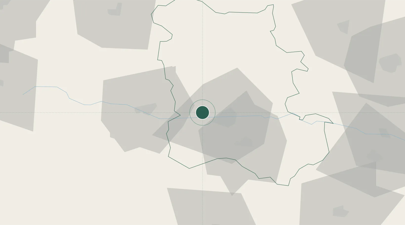
Hub Profile
Place type
Populated place
Region
Plovdiv
Time zone
Europe/Sofia
Elevation
175 m
Location
Nearby Logistics Neighbours
Cities
- 1Stamboliyski9 km
- 2Saedinenie12 km
- 3Kuklen21 km
- 4Stryama22 km
- 5Panagyurishte30 km
Ports
- 1Lagos138 km
- 2Kavala140 km
- 3Alexandroupoli183 km
- 4Stratoni197 km
- 5Thessaloniki223 km
Airports
Trade Zones
DatabookThe Record of Consolidated Knowledge
Bulgaria beyond logistics?