UN/LOCODE hub · Bulgaria
BGPPE
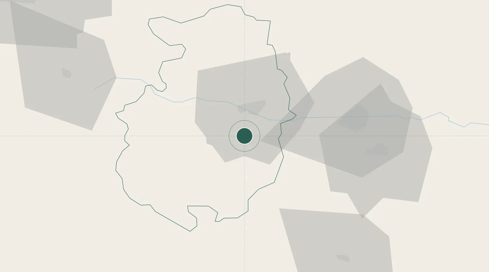
Panagyurishte
42.0833°, 24.3000°
19,389
Population
1
Transport functions
Transport Functions
Multimodal
Hub Profile
Place type
Provincial seat
Region
Pazardzhik
Population
19,389
Time zone
Europe/Sofia
Elevation
518 m
Location
Nearby Logistics Neighbours
Cities
- 1Yakoruda15 km
- 2Batak16 km
- 3Stamboliyski21 km
- 4Saedinenie29 km
- 5Radinovo30 km
Ports
- 1Kavala128 km
- 2Lagos139 km
- 3Stratoni179 km
- 4Alexandroupoli192 km
- 5Thessaloniki198 km
Airports
Trade Zones
- 1Plovdiv Free Zone12 km
- 2Trakia Economic Zone39 km
- 3Maritsa Industrial and Commercial Zone40 km
- 4Kuklen Industrial and Commercial Zone41 km
- 5TIDZ Delčevo126 km
DatabookThe Record of Consolidated Knowledge
Bulgaria beyond logistics?