Transport Functions
Multimodal
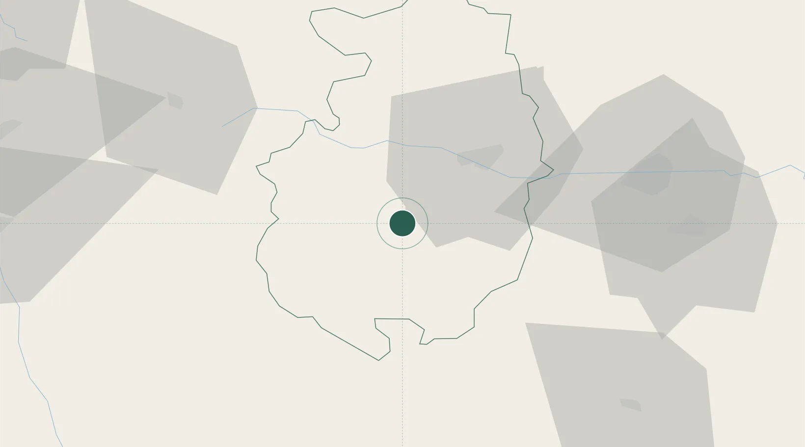
Hub Profile
Place type
Populated place
Region
Blagoevgrad
Population
6,008
Time zone
Europe/Sofia
Elevation
1,028 m
Location
Nearby Logistics Neighbours
Cities
- 1Batak12 km
- 2Panagyurishte15 km
- 3Stamboliyski36 km
- 4Kostenets38 km
- 5Saedinenie43 km
Ports
- 1Kavala124 km
- 2Lagos142 km
- 3Stratoni171 km
- 4Thessaloniki185 km
- 5Alexandroupoli198 km
Airports
Trade Zones
- 1Plovdiv Free Zone27 km
- 2Trakia Economic Zone54 km
- 3Kuklen Industrial and Commercial Zone54 km
- 4Maritsa Industrial and Commercial Zone55 km
- 5TIDZ Delčevo112 km
DatabookThe Record of Consolidated Knowledge
Bulgaria beyond logistics?