Transport Functions
Multimodal
Hub Profile
Place type
Provincial seat
Region
Pazardzhik
Population
3,917
Time zone
Europe/Sofia
Elevation
1,037 m
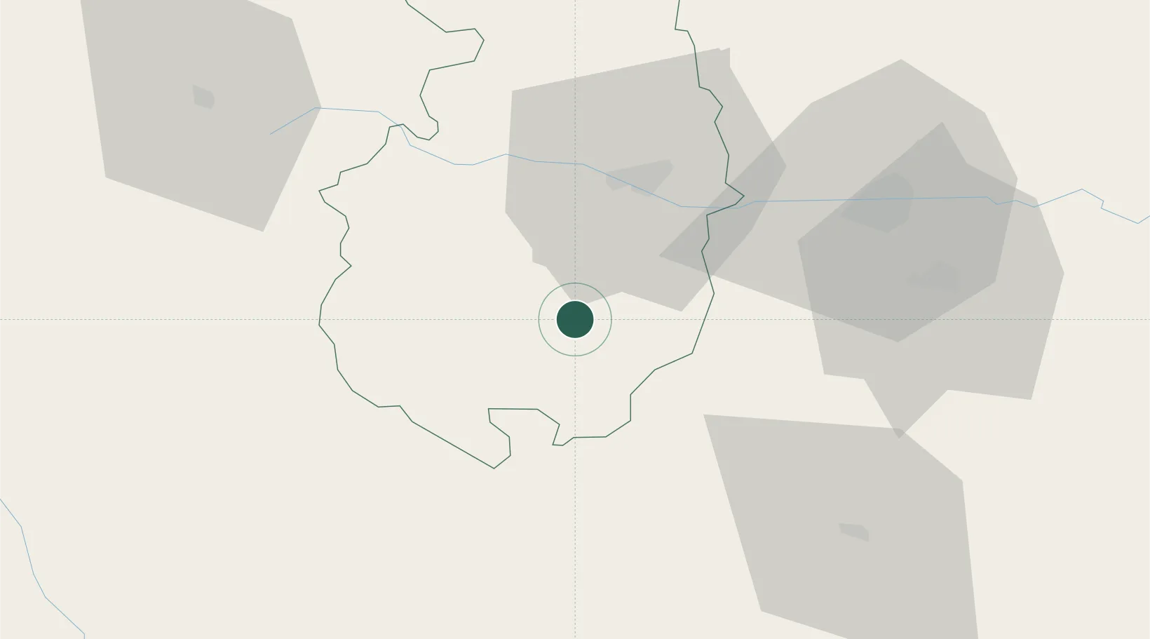
Location
Nearby Logistics Neighbours
Cities
- 1Yakoruda12 km
- 2Panagyurishte16 km
- 3Stamboliyski34 km
- 4Radinovo43 km
- 5Saedinenie45 km
Ports
- 1Kavala114 km
- 2Lagos130 km
- 3Stratoni163 km
- 4Thessaloniki182 km
- 5Alexandroupoli186 km
Airports
Trade Zones
- 1Plovdiv Free Zone26 km
- 2Kuklen Industrial and Commercial Zone48 km
- 3Trakia Economic Zone50 km
- 4Maritsa Industrial and Commercial Zone53 km
- 5TIDZ Berovo118 km
DatabookThe Record of Consolidated Knowledge
Bulgaria beyond logistics?