Transport Functions
Port
Road
Hub Profile
Place type
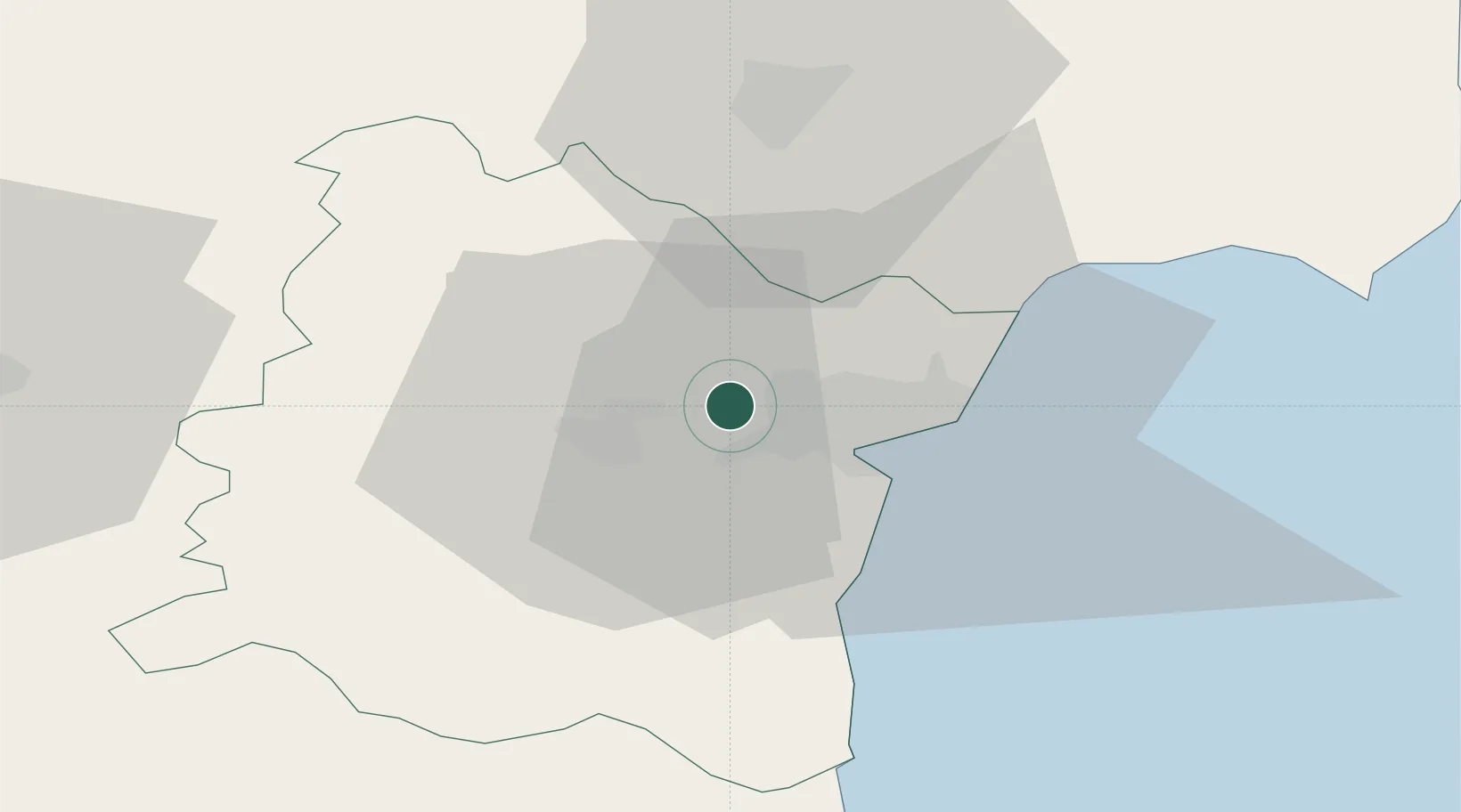
Populated place
Region
Varna
Time zone
Europe/Sofia
Elevation
78 m
Location
Nearby Logistics Neighbours
Cities
- 1Varna6 km
- 2Valchi Dol24 km
- 3Balchik37 km
- 4Bata61 km
- 5Lyuliakovo63 km
Airports
- 1Varna Airport5 km
- 2Balchik Airfield39 km
- 3Burgas Airport78 km
- 4Feteşti Borcea Air Base127 km
- 5Mihail Kogălniceanu International Airport137 km
Trade Zones
- 1Bourgas Free Economic Zone87 km
- 2Free Zone Constanō£a Sud si Basarabi104 km
- 3Rousse Free Zone157 km
- 4Free Zone Giurgiu162 km
- 5Kirklareli Organized Industrial Zone177 km
DatabookThe Record of Consolidated Knowledge
Bulgaria beyond logistics?