Transport Functions
Port
Hub Profile
Place type
Provincial seat
Region
Dobrich
Population
13,000
Time zone
Europe/Sofia
Elevation
191 m
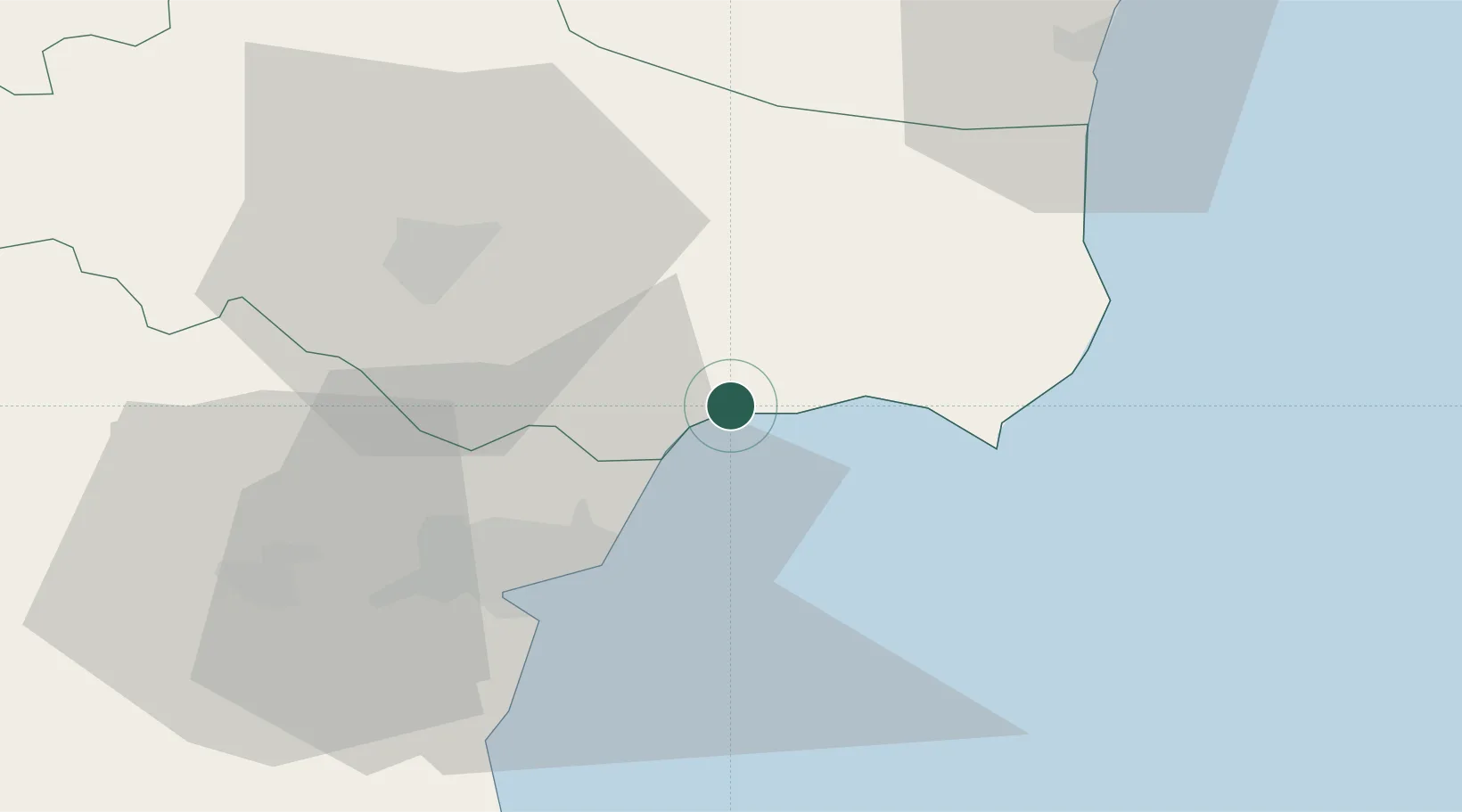
Location
Nearby Logistics Neighbours
Cities
- 1Ignatievo37 km
- 2Varna41 km
- 3Valchi Dol44 km
- 4Mangalia57 km
- 5Eforie Sud80 km
Airports
- 1Balchik Airfield1 km
- 2Varna Airport34 km
- 3Burgas Airport108 km
- 4Mihail Kogălniceanu International Airport108 km
- 5Feteşti Borcea Air Base114 km
Trade Zones
- 1Free Zone Constanō£a Sud si Basarabi75 km
- 2Bourgas Free Economic Zone118 km
- 3Rousse Free Zone180 km
- 4Kirklareli Organized Industrial Zone203 km
- 5Free zone Brăila207 km
DatabookThe Record of Consolidated Knowledge
Bulgaria beyond logistics?