Transport Functions
Port
Multimodal
Hub Profile
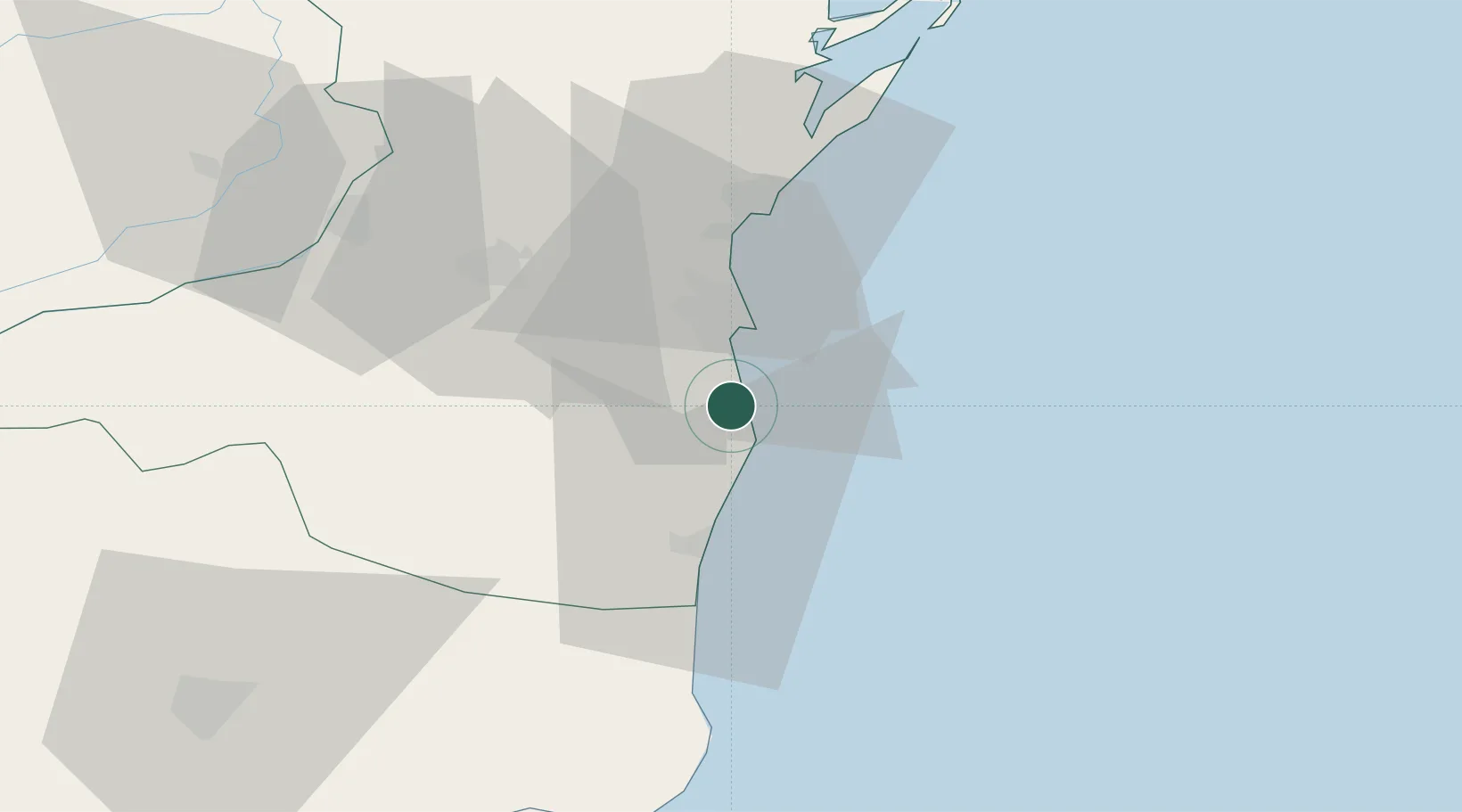
Place type
Populated place
Region
Constanța County
Population
9,498
Time zone
Europe/Bucharest
Elevation
23 m
Location
Nearby Logistics Neighbours
Airports
- 1Mihail Kogălniceanu International Airport37 km
- 2Balchik Airfield79 km
- 3Feteşti Borcea Air Base82 km
- 4Varna Airport112 km
- 5Tulcea Danube Delta Airport113 km
Trade Zones
- 1Free Zone Constanō£a Sud si Basarabi20 km
- 2Free Zone Sulina145 km
- 3Free zone Brăila146 km
- 4Reni Special Economic Zone157 km
- 5Giurgiulesti International Free Port161 km
DatabookThe Record of Consolidated Knowledge
Romania beyond logistics?