Transport Functions
Port
Rail
Road
Hub Profile
Place type
Provincial seat
Region
Constanța County
Population
39,619
Time zone
Europe/Bucharest
Elevation
1 m
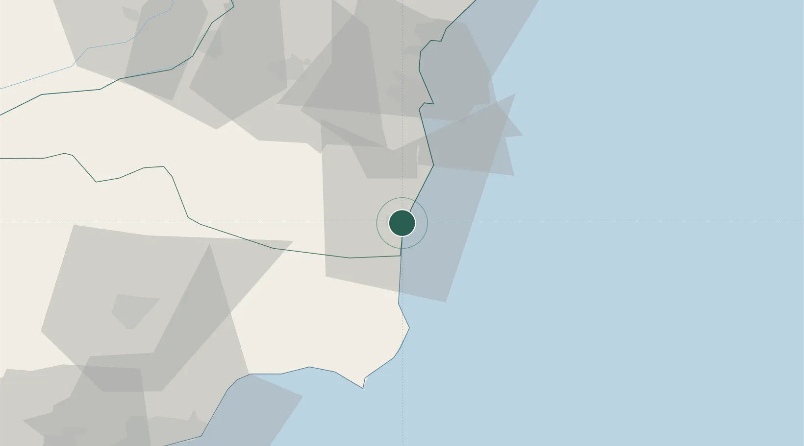
Location
Nearby Logistics Neighbours
Cities
- 1Eforie Sud24 km
- 2Agigea30 km
- 3Constanta35 km
- 4Basarabi41 km
- 5Poarta Alba45 km
Airports
- 1Balchik Airfield56 km
- 2Mihail Kogălniceanu International Airport59 km
- 3Varna Airport91 km
- 4Feteşti Borcea Air Base92 km
- 5Tulcea Danube Delta Airport137 km
Trade Zones
- 1Free Zone Constanō£a Sud si Basarabi31 km
- 2Free zone Brăila167 km
- 3Free Zone Sulina168 km
- 4Bourgas Free Economic Zone175 km
- 5Reni Special Economic Zone180 km
DatabookThe Record of Consolidated Knowledge
Romania beyond logistics?