UN/LOCODE hub · Bulgaria
BGVAR
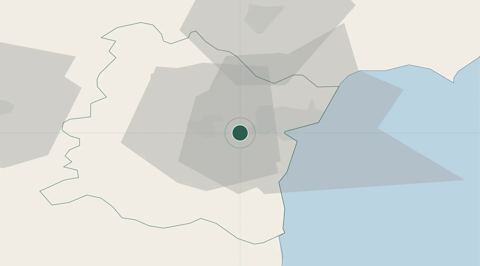
Varna
43.1977°, 27.7533°
318,737
Population
2
Transport functions
2
Container terminals
Transport Functions
Port
Airport
Hub Profile
Place type
Regional capital
Region
Varna
Population
318,737
Time zone
Europe/Sofia
Elevation
83 m
Logistics facilities
6
Container terminals
2
Location
Nearby Logistics Neighbours
Cities
- 1Ignatievo6 km
- 2Valchi Dol20 km
- 3Balchik41 km
- 4Bata56 km
- 5Nessebar61 km
Airports
- 1Varna Airport7 km
- 2Balchik Airfield43 km
- 3Burgas Airport73 km
- 4Feteşti Borcea Air Base133 km
- 5Bezmer Air Base141 km
Trade Zones
- 1Bourgas Free Economic Zone81 km
- 2Free Zone Constanō£a Sud si Basarabi110 km
- 3Rousse Free Zone159 km
- 4Free Zone Giurgiu164 km
- 5Kirklareli Organized Industrial Zone171 km
DatabookThe Record of Consolidated Knowledge
Bulgaria beyond logistics?