Transport Functions
Rail
Road
Hub Profile
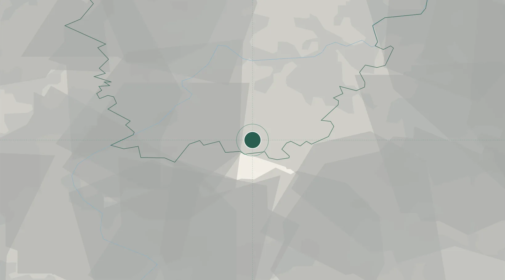
Place type
Populated place
Region
Flanders
Population
1,018
Time zone
Europe/Brussels
Elevation
22 m
Location
Nearby Logistics Neighbours
Cities
- 1Geraardsbergen2 km
- 2Onkerzele4 km
- 3Overboelare4 km
- 4Idegem5 km
- 5Deux-Acren6 km
Airports
Trade Zones
- 1ZFU Condé sur lEscaut40 km
- 2ZFU Tourcoing49 km
- 3ZFU Hem et Roubaix49 km
- 4ZFU Maubeuge, Louvroil59 km
- 5ZFU de Lille et de Loos61 km
DatabookThe Record of Consolidated Knowledge
Belgium beyond logistics?