Transport Functions
Port
Rail
Road
Hub Profile
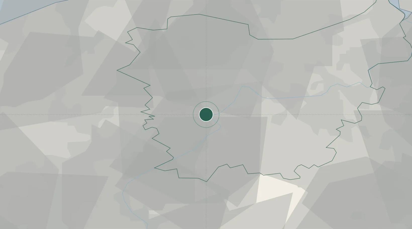
Place type
Populated place
Region
Flanders
Population
5,168
Time zone
Europe/Brussels
Elevation
7 m
Location
Nearby Logistics Neighbours
Airports
Trade Zones
DatabookThe Record of Consolidated Knowledge
Belgium beyond logistics?